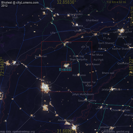
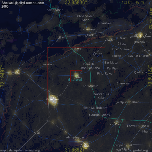
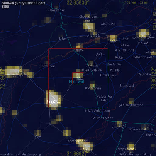
Bhalwal night lights from space
Night Light of Bhalwal (Punjab) from space (Pakistan) Src. Average luminocity for 10x10km area is 12.1209% and for 50x50km: 3.813%.
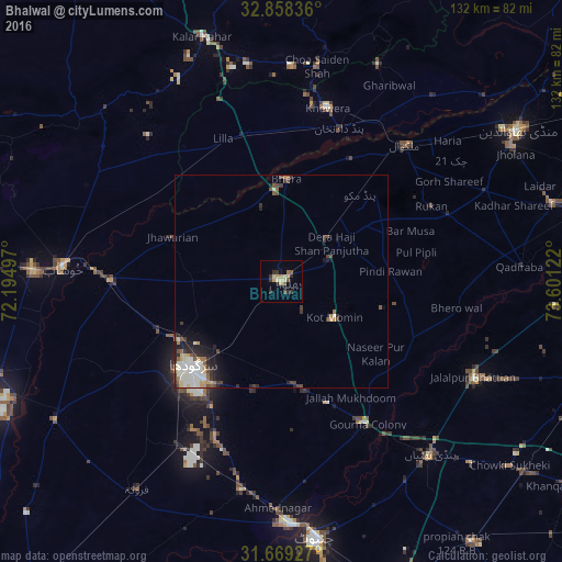
Analysis of Bhalwal night lights 2016
Square area 10x10 km:
 0%
0%90-99
0%80-89
4.03%70-79
3.11%60-69
0.73%50-59
2.01%40-49
1.1%30-39
2.75%20-29
3.3%10-19
0.92%0-9
82.05%Square area 50x50 km:
0.37%90-99
1.14%80-89
0.44%70-79
0.45%60-69
0.31%50-59
0.47%40-49
0.58%30-39
0.67%20-29
0.96%10-19
1.35%0-9
93.26%Clear (daylight) street map image can be seen on geolist.org.
Map coordinates:
32° 51' 30.1" North, 72° 11' 41.9" East
32° 15' 56.7" North, 72° 53' 53.1" East
31° 40' 9.4" North, 73° 36' 4.4" East
Some cities around Bhalwal sort by population:
• Sargodha
29.1 km =18.1 mi,  226°
226°
• Kot Mumin
15.1 km =9.4 mi,  124°
124°
• Malakwal
43.6 km =27.1 mi,  42°
42°
• Bhera
24.1 km =15 mi,  2°
2°
• Jhawarian
28 km =17.4 mi,  292°
292°
• Pind Dadan Khan
38.2 km =23.7 mi,  21°
21°
• Shahpur
40.4 km =25.1 mi,  270°
270°
• Liliani
8.5 km =5.3 mi,  143°
143°
1182787 (p: 74,744)
Sources (retrieved 2019-11-25):
» NASA, Earths city lights 1995
» NASA city lights 2003
» Earth at Night: Flat Maps 2012, 2016