Kot Mumin night lights from space
Night Light of Kot Mumin (Punjab) from space (Pakistan) Src. Average luminocity for 10x10km area is 3.9126% and for 50x50km: 1.2309%.
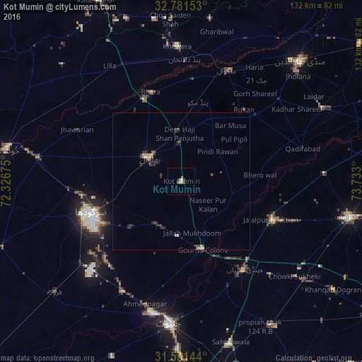
Analysis of Kot Mumin night lights 2016
Square area 10x10 km:
 0%
0%90-99
0.7%80-89
0%70-79
1.75%60-69
1.05%50-59
0%40-49
0.52%30-39
1.05%20-29
0.52%10-19
0%0-9
94.41%Square area 50x50 km:
0.01%90-99
0.09%80-89
0.22%70-79
0.24%60-69
0.09%50-59
0.13%40-49
0.35%30-39
0.4%20-29
0.36%10-19
0.2%0-9
97.91%Clear (daylight) street map image can be seen on geolist.org.
Map coordinates:
32° 46' 53.5" North, 72° 19' 36.3" East
32° 11' 18.3" North, 73° 1' 47.5" East
31° 35' 29.2" North, 73° 43' 58.8" East
Some cities around Kot Mumin sort by population:
• Sargodha
35.4 km =22 mi,  251°
251°
• Bhalwal
15.1 km =9.4 mi,  304°
304°
• Pindi Bhattian
39.6 km =24.6 mi,  144°
144°
• Malakwal City
44.2 km =27.5 mi,  22°
22°
• Malakwal
44.2 km =27.5 mi, 22°
• Bhera
34.6 km =21.5 mi,  340°
340°
• Jhawarian
42.9 km =26.7 mi, 296°
• Liliani
7.6 km =4.7 mi,  283°
283°
1172964 (p: 38,355)
Sources (retrieved 2019-11-25):
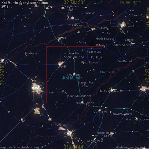
» Earth at Night: Flat Maps 2012, 2016