Hadali night lights from space
Night Light of Hadali (Punjab) from space (Pakistan) Src. Average luminocity for 10x10km area is 1.2535% and for 50x50km: 27.6132%.
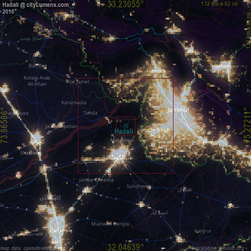
Analysis of Hadali night lights 2016
Square area 10x10 km:
 0%
0%90-99
0%80-89
0%70-79
0%60-69
0%50-59
0%40-49
0%30-39
0.35%20-29
1.05%10-19
0%0-9
98.6%Square area 50x50 km:
2.86%90-99
7.05%80-89
3.57%70-79
3.63%60-69
4.04%50-59
3.91%40-49
5.31%30-39
4.26%20-29
5.87%10-19
10.26%0-9
49.25%Clear (daylight) street map image can be seen on geolist.org.
Map coordinates:
33° 13' 50" North, 73° 51' 57.1" East
32° 38' 25.5" North, 74° 34' 8.3" East
32° 2' 47" North, 75° 16' 19.6" East
Some cities around Hadali sort by population:
• Sialkot
16.8 km =10.4 mi,  192°
192°
• Sambrial
27.1 km =16.8 mi,  228°
228°
• Kotli Loharan
9 km =5.6 mi, 230°
• Surkhpur
14.3 km =8.9 mi,  307°
307°
• Nawānshahr, IN
14.4 km =8.9 mi,  344°
344°
• Bishnāh, IN
27 km =16.8 mi,  97°
97°
• Norīa, IN
25.3 km =15.7 mi,  121°
121°
• Khaur, IN
22.9 km =14.2 mi, 100°
1177397 (p: 49,663)
Sources (retrieved 2019-11-25):
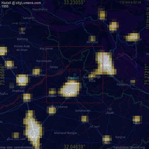
» NASA, Earths city lights 1995
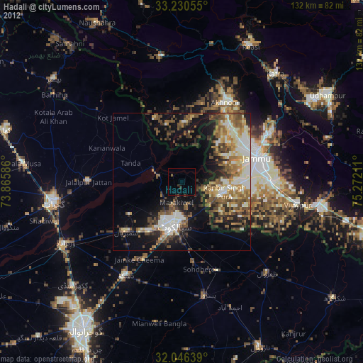
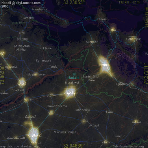
» NASA city lights 2003
» Earth at Night: Flat Maps 2012, 2016