Dipalpur night lights from space
Night Light of Dipalpur (Punjab) from space (Pakistan) Src. Average luminocity for 10x10km area is 10.722% and for 50x50km: 5.4827%.
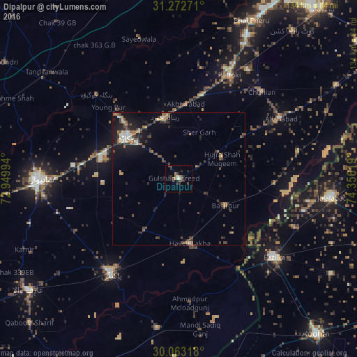
Analysis of Dipalpur night lights 2016
Square area 10x10 km:
 0%
0%90-99
1.22%80-89
0.87%70-79
0.52%60-69
1.75%50-59
0.7%40-49
5.94%30-39
1.75%20-29
5.24%10-19
0.87%0-9
81.12%Square area 50x50 km:
0.2%90-99
0.79%80-89
0.31%70-79
0.65%60-69
0.68%50-59
0.76%40-49
1.73%30-39
1.26%20-29
1.76%10-19
3.84%0-9
88.01%Clear (daylight) street map image can be seen on geolist.org.
Map coordinates:
31° 16' 21.8" North, 72° 56' 59.8" East
30° 40' 11.4" North, 73° 39' 11" East
30° 3' 47.4" North, 74° 21' 22.3" East
Some cities around Dipalpur sort by population:
• Okara
24.8 km =15.4 mi,  309°
309°
• Pakpattan
44.2 km =27.5 mi,  214°
214°
• Pattoki
43.4 km =27 mi,  26°
26°
• Haveli Lakha
24.6 km =15.3 mi,  170°
170°
• Hujra Shah Muqim
18.1 km =11.2 mi,  63°
63°
• Mustafābād
28.8 km =17.9 mi,  329°
329°
• Basirpur
20.5 km =12.7 mi,  119°
119°
• Renala Khurd
23.8 km =14.8 mi,  347°
347°
1179760 (p: 74,640)
Sources (retrieved 2019-11-25):
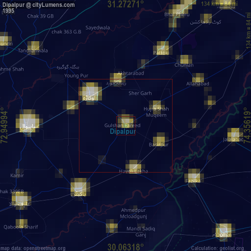
» NASA, Earths city lights 1995
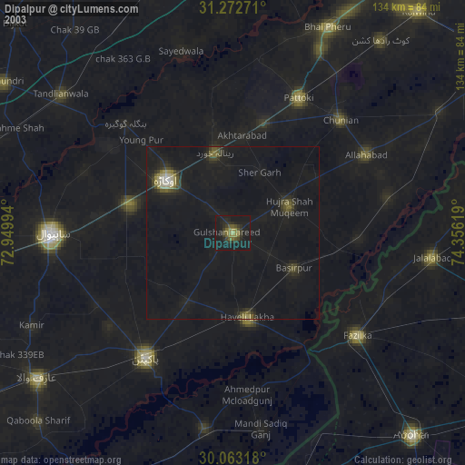
» NASA city lights 2003
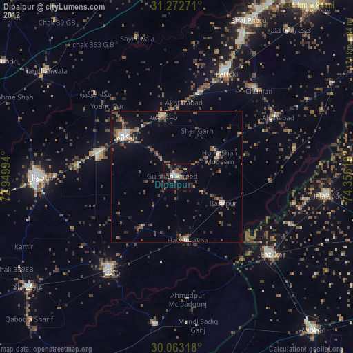
» Earth at Night: Flat Maps 2012, 2016