Claveria night lights from space
Night Light of Claveria (Northern Mindanao) from space (Philippines) Src. Average luminocity for 10x10km area is 0.2231% and for 50x50km: 2.609%.
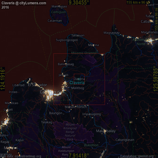
Analysis of Claveria night lights 2016
Square area 10x10 km:
 0%
0%90-99
0%80-89
0%70-79
0%60-69
0%50-59
0%40-49
0%30-39
0%20-29
0.83%10-19
0%0-9
99.17%Square area 50x50 km:
0.25%90-99
0.35%80-89
0.21%70-79
0.24%60-69
0.32%50-59
0.34%40-49
0.3%30-39
0.42%20-29
0.89%10-19
2.9%0-9
93.76%Clear (daylight) street map image can be seen on geolist.org.
Map coordinates:
9° 18' 16.4" North, 124° 11' 29.8" East
8° 36' 36" North, 124° 53' 41" East
7° 54' 51" North, 125° 35' 52.3" East
Some cities around Claveria sort by population:
• Bugo
18.7 km =11.6 mi,  232°
232°
• Tagoloan
17.3 km =10.7 mi,  243°
243°
• Jasaan
16.1 km =10 mi,  287°
287°
• Agusan
21.8 km =13.5 mi, 232°
• Balingasag
19.8 km =12.3 mi,  319°
319°
• Villanueva
13.3 km =8.3 mi,  259°
259°
• San Luis
18.2 km =11.3 mi,  140°
140°
• Santa Ana
16.1 km =10 mi, 229°
1717351 (p: 7,784)
Sources (retrieved 2019-11-25):
» Earth at Night: Flat Maps 2012, 2016