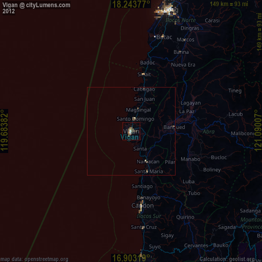
Vigan night lights from space
Night Light of Vigan (Ilocos) from space (Philippines) Src. Average luminocity for 10x10km area is 17.876% and for 50x50km: 1.3168%.
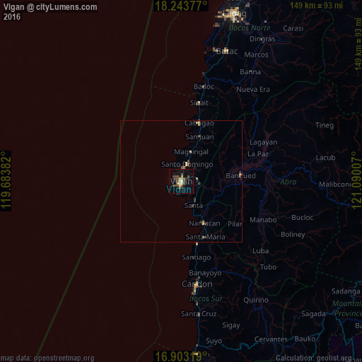
Analysis of Vigan night lights 2016
Square area 10x10 km:
 0%
0%90-99
1.03%80-89
4.55%70-79
1.86%60-69
0.21%50-59
1.86%40-49
8.68%30-39
3.72%20-29
4.55%10-19
4.96%0-9
68.6%Square area 50x50 km:
0%90-99
0.04%80-89
0.31%70-79
0.19%60-69
0.08%50-59
0.18%40-49
0.58%30-39
0.32%20-29
0.24%10-19
0.3%0-9
97.76%Clear (daylight) street map image can be seen on geolist.org.
Map coordinates:
18° 14' 37.6" North, 119° 41' 1.8" East
17° 34' 29" North, 120° 23' 13" East
16° 54' 11.5" North, 121° 5' 24.3" East
Some cities around Vigan sort by population:
• Batac City
56.7 km =35.2 mi,  19°
19°
• San Nicolas
70 km =43.5 mi, 18°
• Santa Maria
69.5 km =43.2 mi,  174°
174°
• Candon
42.8 km =26.6 mi, 170°
• Suyo
68.2 km =42.4 mi, 167°
• Bantay
1.1 km =0.7 mi,  12°
12°
• Cabugao
25.4 km =15.8 mi, 17°
• Dingras
67.3 km =41.8 mi,  29°
29°
1679980 (p: 48,545)
Sources (retrieved 2019-11-25):
» Earth at Night: Flat Maps 2012, 2016