Suyo night lights from space
Night Light of Suyo (Ilocos) from space (Philippines) Src. Average luminocity for 10x10km area is 0% and for 50x50km: 0.4699%.
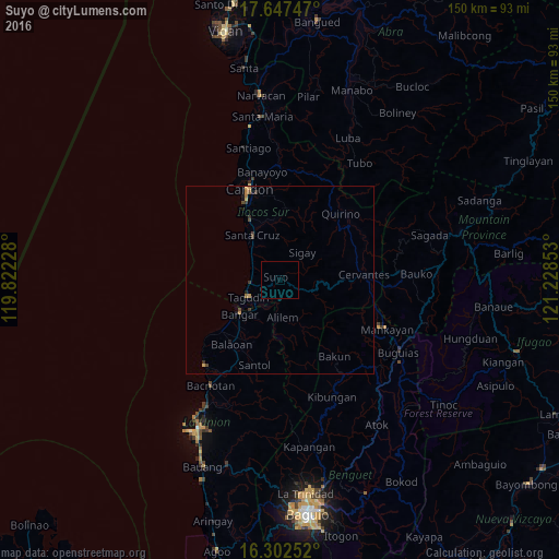
Analysis of Suyo night lights 2016
Square area 10x10 km:
 0%
0%90-99
0%80-89
0%70-79
0%60-69
0%50-59
0%40-49
0%30-39
0%20-29
0%10-19
0%0-9
100%Square area 50x50 km:
0%90-99
0%80-89
0.02%70-79
0.18%60-69
0.09%50-59
0.05%40-49
0.09%30-39
0.28%20-29
0.02%10-19
0.21%0-9
99.05%Clear (daylight) street map image can be seen on geolist.org.
Map coordinates:
17° 38' 50.9" North, 119° 49' 20.2" East
16° 58' 34.3" North, 120° 31' 31.4" East
16° 18' 9.1" North, 121° 13' 42.7" East
Some cities around Suyo sort by population:
• Tagudin
9.7 km =6 mi,  242°
242°
• Santa Maria
9 km =5.6 mi,  252°
252°
• Mankayan
30.1 km =18.7 mi,  114°
114°
• Baculongan
38.2 km =23.7 mi,  120°
120°
• Candon
25.5 km =15.8 mi,  342°
342°
• Bangar
14.1 km =8.8 mi,  229°
229°
• Kibungan
34.2 km =21.3 mi,  156°
156°
• Rimus
17.6 km =10.9 mi, 230°
1685161 (p: 10,943)
Sources (retrieved 2019-11-25):
» Earth at Night: Flat Maps 2012, 2016