Trento night lights from space
Night Light of Trento (Caraga) from space (Philippines) Src. Average luminocity for 10x10km area is 1.3306% and for 50x50km: 0.0975%.
Analysis of Trento night lights 2016
Square area 10x10 km:
100  0%
0%
90-99 0%
80-89 0%
70-79 0%
60-69 0.83%
50-59 0%
40-49 0.21%
30-39 1.45%
20-29 0%
10-19 0%
0-9 97.52%
0%90-99
0%80-89
0%70-79
0%60-69
0.83%50-59
0%40-49
0.21%30-39
1.45%20-29
0%10-19
0%0-9
97.52%Square area 50x50 km:
100 0%
90-99 0%
80-89 0%
70-79 0%
60-69 0.03%
50-59 0%
40-49 0.07%
30-39 0.07%
20-29 0.03%
10-19 0%
0-9 99.8%
0%90-99
0%80-89
0%70-79
0%60-69
0.03%50-59
0%40-49
0.07%30-39
0.07%20-29
0.03%10-19
0%0-9
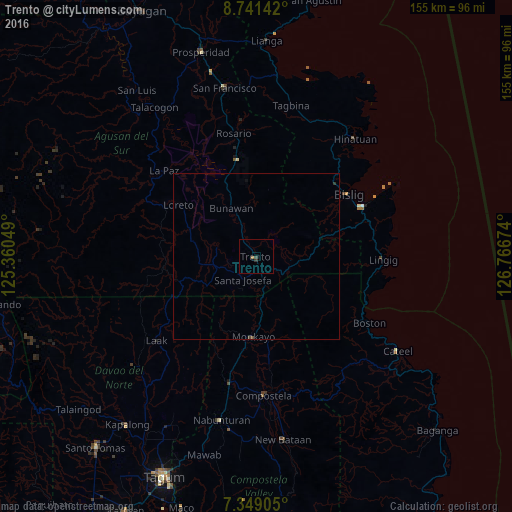
99.8%Clear (daylight) street map image can be seen on geolist.org.
Map coordinates:
8° 44' 29.1" North, 125° 21' 37.8" East
8° 2' 45" North, 126° 3' 49" East
7° 20' 56.6" North, 126° 46' 0.3" East
Some cities around Trento sort by population:
• Bislig
33.6 km =20.9 mi,  55°
55°
• Monkayo
25.7 km =16 mi,  182°
182°
• Veruela
12.3 km =7.6 mi,  284°
284°
• Bunawan
15.7 km =9.8 mi,  329°
329°
• Lingig
38.4 km =23.9 mi,  91°
91°
• Salvacion
8.5 km =5.3 mi,  127°
127°
• Libertad
8 km =5 mi, 329°
• Loreto
28 km =17.4 mi,  304°
304°
1681333 (p: 15,916)
Sources (retrieved 2019-11-25):
» Earth at Night: Flat Maps 2012, 2016