Veruela night lights from space
Night Light of Veruela (Caraga) from space (Philippines) Src. Average luminocity for 10x10km area is 0% and for 50x50km: 0.0569%.
Analysis of Veruela night lights 2016
Square area 10x10 km:
 0%
0%90-99
0%80-89
0%70-79
0%60-69
0%50-59
0%40-49
0%30-39
0%20-29
0%10-19
0%0-9
100%Square area 50x50 km:
0%90-99
0%80-89
0%70-79
0%60-69
0.03%50-59
0%40-49
0.01%30-39
0.06%20-29
0%10-19
0%0-9
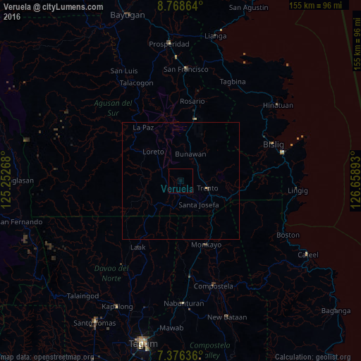
99.9%Clear (daylight) street map image can be seen on geolist.org.
Map coordinates:
8° 46' 7.1" North, 125° 15' 9.6" East
8° 4' 23.2" North, 125° 57' 20.9" East
7° 22' 34.9" North, 126° 39' 32.1" East
Some cities around Veruela sort by population:
• Monkayo
30.7 km =19.1 mi,  159°
159°
• Trento
12.3 km =7.6 mi,  104°
104°
• Bunawan
11.2 km =7 mi,  20°
20°
• Montevista
42.4 km =26.3 mi,  175°
175°
• Andop
32.4 km =20.1 mi,  223°
223°
• Salvacion
20.3 km =12.6 mi,  113°
113°
• Libertad
8.7 km =5.4 mi,  63°
63°
• Loreto
17 km =10.6 mi,  318°
318°
1680040 (p: 18,114)
Sources (retrieved 2019-11-25):
» Earth at Night: Flat Maps 2012, 2016