Lingig night lights from space
Night Light of Lingig (Caraga) from space (Philippines) Src. Average luminocity for 10x10km area is 0.3388% and for 50x50km: 0.2779%.
Analysis of Lingig night lights 2016
Square area 10x10 km:
 0%
0%90-99
0%80-89
0%70-79
0%60-69
0%50-59
0%40-49
0.21%30-39
0.62%20-29
0%10-19
0%0-9
99.17%Square area 50x50 km:
0.03%90-99
0.01%80-89
0.03%70-79
0.07%60-69
0.13%50-59
0.01%40-49
0.04%30-39
0.03%20-29
0.07%10-19
0%0-9
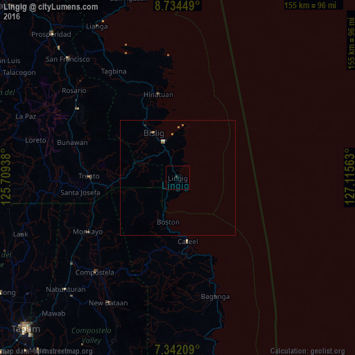
99.6%Clear (daylight) street map image can be seen on geolist.org.
Map coordinates:
8° 44' 4.2" North, 125° 42' 33.8" East
8° 2' 20" North, 126° 24' 45" East
7° 20' 31.5" North, 127° 6' 56.3" East
Some cities around Lingig sort by population:
• Bislig
22.3 km =13.9 mi,  331°
331°
• Trento
38.4 km =23.9 mi,  271°
271°
• Hinatuan
38.1 km =23.7 mi,  346°
346°
• Taytayan
35.3 km =21.9 mi,  163°
163°
• Cateel
27.9 km =17.3 mi,  170°
170°
• Salvacion
32 km =19.9 mi,  262°
262°
• Libertad
43.2 km =26.8 mi,  280°
280°
• Kinablangan
41.3 km =25.7 mi, 158°
1706176 (p: 6,400)
Sources (retrieved 2019-11-25):
» Earth at Night: Flat Maps 2012, 2016