Bislig night lights from space
Night Light of Bislig (Caraga) from space (Philippines) Src. Average luminocity for 10x10km area is 4.1343% and for 50x50km: 0.3035%.
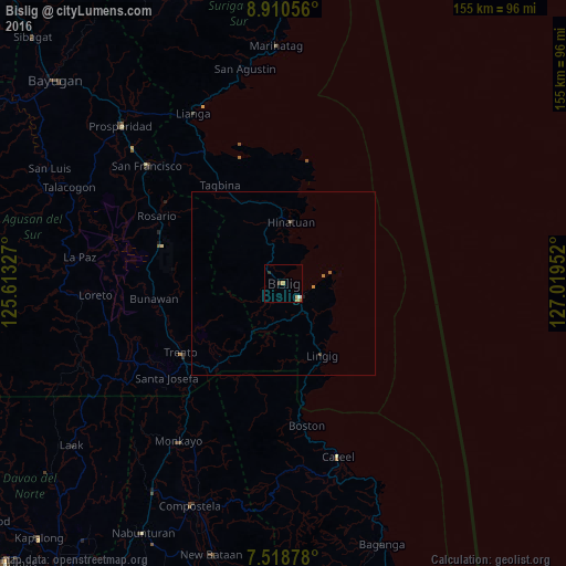

Analysis of Bislig night lights 2016
Square area 10x10 km:
 0.62%
0.62%90-99
0.21%80-89
0.83%70-79
0.83%60-69
1.45%50-59
0.21%40-49
0.83%30-39
0%20-29
0.83%10-19
0%0-9
94.21%Square area 50x50 km:
0.03%90-99
0.01%80-89
0.03%70-79
0.07%60-69
0.13%50-59
0.04%40-49
0.04%30-39
0.03%20-29
0.07%10-19
0%0-9
99.56%Clear (daylight) street map image can be seen on geolist.org.
Map coordinates:
8° 54' 38" North, 125° 36' 47.8" East
8° 12' 55" North, 126° 18' 59" East
7° 31' 7.6" North, 127° 1' 10.3" East
Some cities around Bislig sort by population:
• Trento
33.6 km =20.9 mi,  235°
235°
• Bunawan
36.2 km =22.5 mi,  261°
261°
• Tagbina
30.8 km =19.1 mi,  328°
328°
• Hinatuan
17.6 km =10.9 mi,  6°
6°
• Barobo
41.5 km =25.8 mi, 328°
• Lingig
22.3 km =13.9 mi,  151°
151°
• Salvacion
31.9 km =19.8 mi,  221°
221°
• Libertad
34.1 km =21.2 mi,  249°
249°
1724767 (p: 67,567)
Sources (retrieved 2019-11-25):
» NASA, Earths city lights 1995
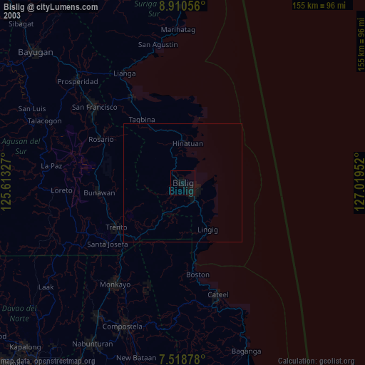
» NASA city lights 2003
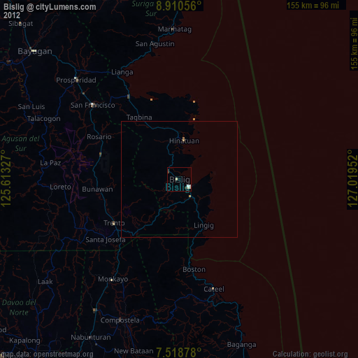
» Earth at Night: Flat Maps 2012, 2016