Loreto night lights from space
Night Light of Loreto (Caraga) from space (Philippines) Src. Average luminocity for 10x10km area is 0% and for 50x50km: 0.1186%.
Analysis of Loreto night lights 2016
Square area 10x10 km:
 0%
0%90-99
0%80-89
0%70-79
0%60-69
0%50-59
0%40-49
0%30-39
0%20-29
0%10-19
0%0-9
100%Square area 50x50 km:
0%90-99
0.02%80-89
0.02%70-79
0%60-69
0.03%50-59
0.03%40-49
0.01%30-39
0.06%20-29
0.03%10-19
0.04%0-9
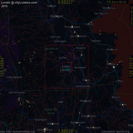
99.76%Clear (daylight) street map image can be seen on geolist.org.
Map coordinates:
8° 52' 56.2" North, 125° 8' 59.8" East
8° 11' 13" North, 125° 51' 11" East
7° 29' 25.4" North, 126° 33' 22.3" East
Some cities around Loreto sort by population:
• Veruela
17 km =10.6 mi,  138°
138°
• Trento
28 km =17.4 mi,  124°
124°
• Talacogon
30.9 km =19.2 mi,  345°
345°
• Bunawan
15.3 km =9.5 mi,  98°
98°
• Andop
37.8 km =23.5 mi,  196°
196°
• San Luis
34.5 km =21.4 mi,  339°
339°
• Salvacion
36.5 km =22.7 mi, 124°
• Libertad
21 km =13 mi,  114°
114°
1705552 (p: 5,730)
Sources (retrieved 2019-11-25):
» Earth at Night: Flat Maps 2012, 2016