Tinambac night lights from space
Night Light of Tinambac (Bicol) from space (Philippines) Src. Average luminocity for 10x10km area is 0% and for 50x50km: 1.6305%.
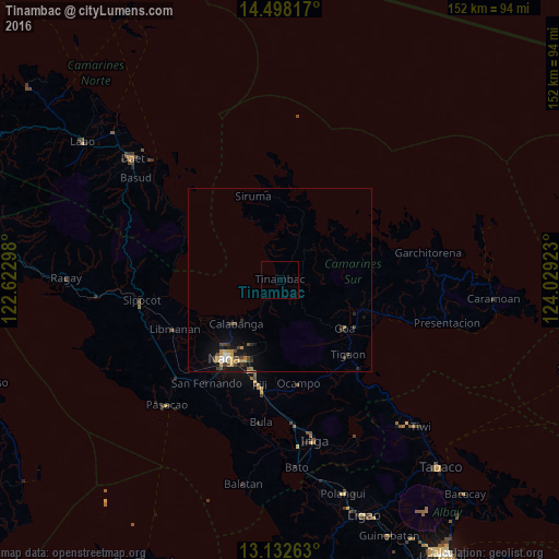
Analysis of Tinambac night lights 2016
Square area 10x10 km:
 0%
0%90-99
0%80-89
0%70-79
0%60-69
0%50-59
0%40-49
0%30-39
0%20-29
0%10-19
0%0-9
100%Square area 50x50 km:
0.09%90-99
0.12%80-89
0.17%70-79
0.39%60-69
0.19%50-59
0.05%40-49
0.58%30-39
0.27%20-29
0.39%10-19
1.36%0-9
96.39%Clear (daylight) street map image can be seen on geolist.org.
Map coordinates:
14° 29' 53.4" North, 122° 37' 22.7" East
13° 48' 59" North, 123° 19' 34" East
13° 7' 57.5" North, 124° 1' 45.2" East
Some cities around Tinambac sort by population:
• Naga
26.9 km =16.7 mi,  215°
215°
• Calabanga
17.6 km =10.9 mi,  226°
226°
• Goa
22 km =13.7 mi,  126°
126°
• Magarao
23 km =14.3 mi, 220°
• Tigaon
27.5 km =17.1 mi,  137°
137°
• Milaor
29.3 km =18.2 mi,  213°
213°
• Lagonoy
22.9 km =14.2 mi,  113°
113°
• Camaligan
27.6 km =17.1 mi, 218°
1681936 (p: 10,299)
Sources (retrieved 2019-11-25):
» Earth at Night: Flat Maps 2012, 2016