Naga night lights from space
Night Light of Naga (Bicol) from space (Philippines) Src. Average luminocity for 10x10km area is 26.0269% and for 50x50km: 2.3286%.
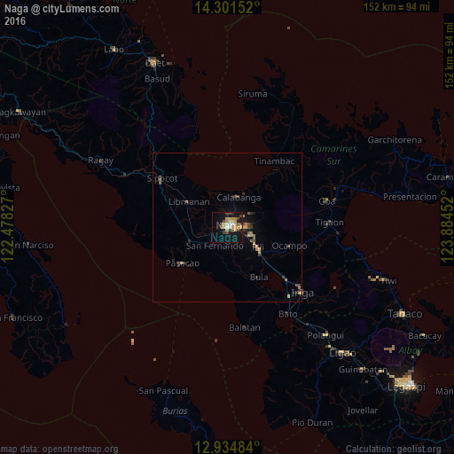
Analysis of Naga night lights 2016
Square area 10x10 km:
 1.86%
1.86%90-99
3.1%80-89
4.34%70-79
7.23%60-69
1.65%50-59
0.21%40-49
8.47%30-39
3.31%20-29
1.65%10-19
27.69%0-9
40.5%Square area 50x50 km:
0.1%90-99
0.13%80-89
0.29%70-79
0.55%60-69
0.21%50-59
0.3%40-49
0.68%30-39
0.39%20-29
0.5%10-19
1.69%0-9
95.16%Clear (daylight) street map image can be seen on geolist.org.
Map coordinates:
14° 18' 5.5" North, 122° 28' 41.8" East
13° 37' 9" North, 123° 10' 53" East
12° 56' 5.4" North, 123° 53' 4.3" East
Some cities around Naga sort by population:
• Calabanga
10.2 km =6.3 mi,  16°
16°
• Magarao
4.6 km =2.9 mi,  7°
7°
• Milaor
2.6 km =1.6 mi,  190°
190°
• San Fernando
7.1 km =4.4 mi,  213°
213°
• Mambulo
17.9 km =11.1 mi,  307°
307°
• Camaligan
1.6 km =1 mi,  282°
282°
• San Gabriel
10.6 km =6.6 mi,  236°
236°
• Antipolo
10.3 km =6.4 mi, 191°
1698829 (p: 174,931)
Sources (retrieved 2019-11-25):
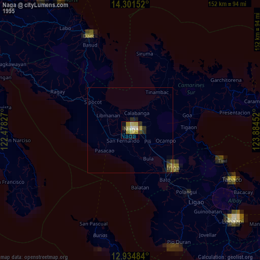
» NASA, Earths city lights 1995
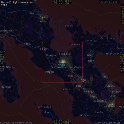
» NASA city lights 2003
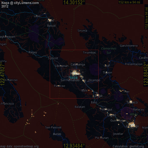
» Earth at Night: Flat Maps 2012, 2016