Goa night lights from space
Night Light of Goa (Bicol) from space (Philippines) Src. Average luminocity for 10x10km area is 1.9587% and for 50x50km: 0.5082%.
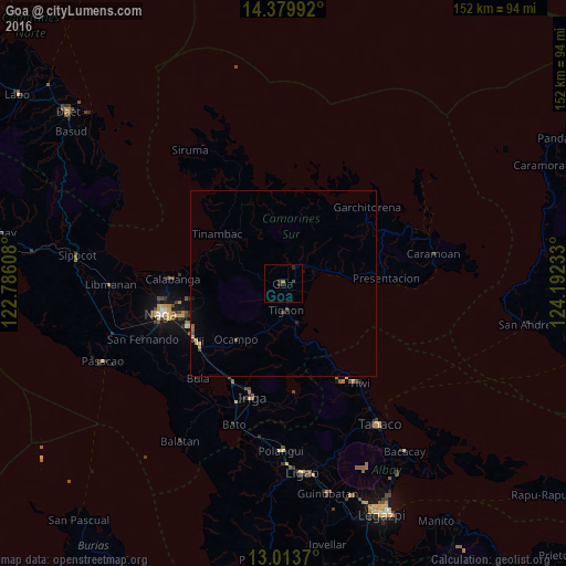
Analysis of Goa night lights 2016
Square area 10x10 km:
 0%
0%90-99
0%80-89
0%70-79
0%60-69
0.83%50-59
0%40-49
0.83%30-39
0.21%20-29
3.1%10-19
0%0-9
95.04%Square area 50x50 km:
0%90-99
0%80-89
0.02%70-79
0.16%60-69
0.06%50-59
0.1%40-49
0.14%30-39
0.09%20-29
0.19%10-19
0.1%0-9
99.14%Clear (daylight) street map image can be seen on geolist.org.
Map coordinates:
14° 22' 47.7" North, 122° 47' 9.9" East
13° 41' 52.1" North, 123° 29' 21.1" East
13° 0' 49.3" North, 124° 11' 32.4" East
Some cities around Goa sort by population:
• Iriga City
30.7 km =19.1 mi,  195°
195°
• Buhi
29.7 km =18.5 mi,  174°
174°
• Calabanga
30.3 km =18.8 mi,  271°
271°
• Baao
30.1 km =18.7 mi,  206°
206°
• Tigaon
7.2 km =4.5 mi, 173°
• Tinambac
22 km =13.7 mi,  306°
306°
• Lagonoy
5.3 km =3.3 mi,  40°
40°
• Nato
10.9 km =6.8 mi,  152°
152°
1712808 (p: 20,936)
Sources (retrieved 2019-11-25):
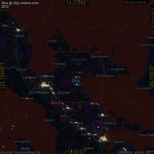
» Earth at Night: Flat Maps 2012, 2016