Camaligan night lights from space
Night Light of Camaligan (Bicol) from space (Philippines) Src. Average luminocity for 10x10km area is 21.8822% and for 50x50km: 2.2241%.
Analysis of Camaligan night lights 2016
Square area 10x10 km:
 1.86%
1.86%90-99
3.1%80-89
4.34%70-79
6.2%60-69
1.03%50-59
0.21%40-49
5.99%30-39
1.65%20-29
1.65%10-19
18.39%0-9
55.58%Square area 50x50 km:
0.1%90-99
0.13%80-89
0.26%70-79
0.55%60-69
0.17%50-59
0.28%40-49
0.62%30-39
0.39%20-29
0.45%10-19
1.69%0-9
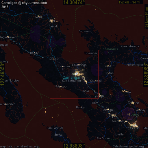
95.36%Clear (daylight) street map image can be seen on geolist.org.
Map coordinates:
14° 18' 17.1" North, 122° 27' 48.9" East
13° 37' 20.6" North, 123° 10' 0.1" East
12° 56' 17.1" North, 123° 52' 11.4" East
Some cities around Camaligan sort by population:
• Naga
1.6 km =1 mi,  102°
102°
• Calabanga
10.4 km =6.5 mi,  25°
25°
• Magarao
4.8 km =3 mi, 27°
• Milaor
3.1 km =1.9 mi,  158°
158°
• San Fernando
6.7 km =4.2 mi,  200°
200°
• Mambulo
16.4 km =10.2 mi,  309°
309°
• San Gabriel
9.5 km =5.9 mi,  229°
229°
• Antipolo
10.4 km =6.5 mi,  182°
182°
1719931 (p: 5,950)
Sources (retrieved 2019-11-25):
» Earth at Night: Flat Maps 2012, 2016