Calabanga night lights from space
Night Light of Calabanga (Bicol) from space (Philippines) Src. Average luminocity for 10x10km area is 3.7541% and for 50x50km: 2.0933%.
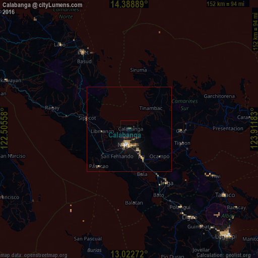
Analysis of Calabanga night lights 2016
Square area 10x10 km:
 0%
0%90-99
0%80-89
0%70-79
0%60-69
0%50-59
0%40-49
2.27%30-39
1.03%20-29
0.83%10-19
3.1%0-9
92.77%Square area 50x50 km:
0.1%90-99
0.13%80-89
0.22%70-79
0.55%60-69
0.17%50-59
0.21%40-49
0.6%30-39
0.31%20-29
0.41%10-19
1.69%0-9
95.61%Clear (daylight) street map image can be seen on geolist.org.
Map coordinates:
14° 23' 20" North, 122° 30' 20.1" East
13° 42' 24.5" North, 123° 12' 31.3" East
13° 1' 21.8" North, 123° 54' 42.6" East
Some cities around Calabanga sort by population:
• Naga
10.2 km =6.3 mi,  196°
196°
• Magarao
5.7 km =3.5 mi, 204°
• Tinambac
17.6 km =10.9 mi,  46°
46°
• Milaor
12.8 km =8 mi, 195°
• San Fernando
17.1 km =10.6 mi, 203°
• Mambulo
17.2 km =10.7 mi,  273°
273°
• Camaligan
10.4 km =6.5 mi,  205°
205°
• San Gabriel
19.5 km =12.1 mi,  217°
217°
1720793 (p: 26,798)
Sources (retrieved 2019-11-25):
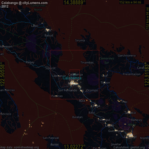
» Earth at Night: Flat Maps 2012, 2016