Santa Maria night lights from space
Night Light of Santa Maria (Davao) from space (Philippines) Src. Average luminocity for 10x10km area is 0.3203% and for 50x50km: 1.2753%.
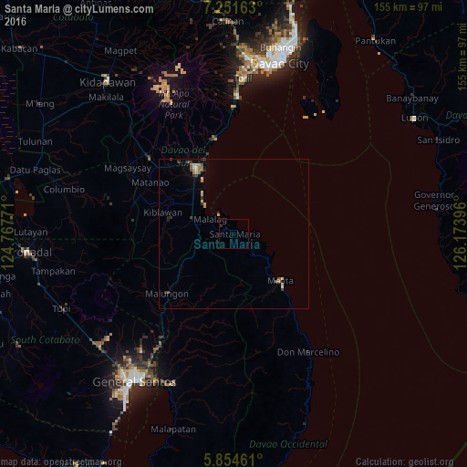
Analysis of Santa Maria night lights 2016
Square area 10x10 km:
 0%
0%90-99
0%80-89
0%70-79
0%60-69
0%50-59
0%40-49
0%30-39
0.87%20-29
0%10-19
0%0-9
99.13%Square area 50x50 km:
0.05%90-99
0.11%80-89
0.12%70-79
0.37%60-69
0.17%50-59
0.21%40-49
0.16%30-39
0.38%20-29
0.16%10-19
0.21%0-9
98.06%Clear (daylight) street map image can be seen on geolist.org.
Map coordinates:
7° 15' 5.9" North, 124° 46' 3.8" East
6° 33' 13" North, 125° 28' 15" East
5° 51' 16.6" North, 126° 10' 26.3" East
Some cities around Santa Maria sort by population:
• Digos
25.2 km =15.7 mi,  330°
330°
• Malita
21.9 km =13.6 mi,  134°
134°
• Guihing Proper
19.6 km =12.2 mi,  318°
318°
• Padada
17 km =10.6 mi,  304°
304°
• Hagonoy
21.6 km =13.4 mi,  311°
311°
• Sulop
14.9 km =9.3 mi,  289°
289°
• Basiawan
2.8 km =1.7 mi,  140°
140°
• Malalag
9.2 km =5.7 mi, 300°
1688058 (p: 16,758)
Sources (retrieved 2019-11-25):
» Earth at Night: Flat Maps 2012, 2016