Maluñgun night lights from space
Night Light of Maluñgun (Soccsksargen) from space (Philippines) Src. Average luminocity for 10x10km area is 0.6407% and for 50x50km: 5.4991%.
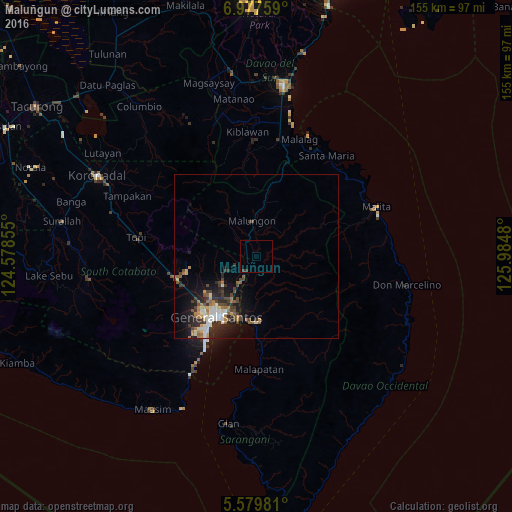
Analysis of Maluñgun night lights 2016
Square area 10x10 km:
 0%
0%90-99
0%80-89
0%70-79
0%60-69
0%50-59
0%40-49
0%30-39
1.3%20-29
0.43%10-19
0%0-9
98.27%Square area 50x50 km:
0.65%90-99
0.93%80-89
0.36%70-79
0.55%60-69
0.96%50-59
0.75%40-49
1.08%30-39
1.14%20-29
1.92%10-19
3.29%0-9
88.35%Clear (daylight) street map image can be seen on geolist.org.
Map coordinates:
6° 58' 39.3" North, 124° 34' 42.8" East
6° 16' 45" North, 125° 16' 54" East
5° 34' 47.3" North, 125° 59' 5.3" East
Some cities around Maluñgun sort by population:
• General Santos
22.1 km =13.7 mi,  213°
213°
• Polomolok
24.9 km =15.5 mi,  255°
255°
• Alabel
19.7 km =12.2 mi,  177°
177°
• Buayan
18.8 km =11.7 mi,  195°
195°
• Malandag
5.1 km =3.2 mi,  312°
312°
• Conel
13.5 km =8.4 mi,  230°
230°
• Katangawan
13.6 km =8.5 mi, 209°
• Silway 7
21.1 km =13.1 mi,  237°
237°
1702442 (p: 52,248)
Sources (retrieved 2019-11-25):
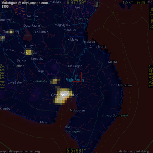
» NASA, Earths city lights 1995
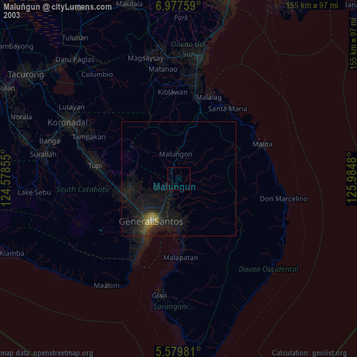
» NASA city lights 2003
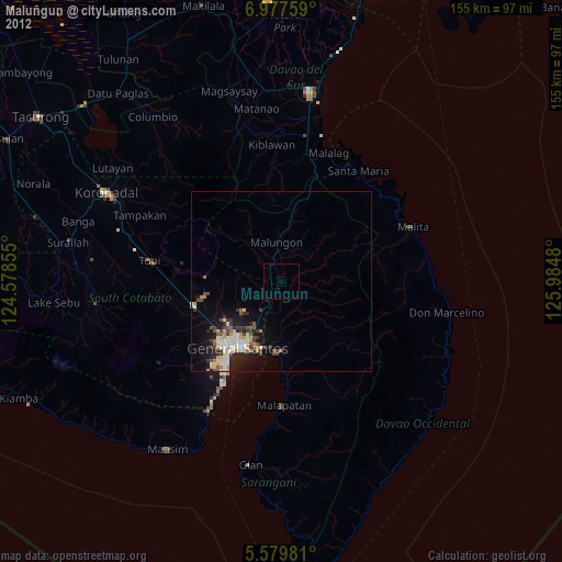
» Earth at Night: Flat Maps 2012, 2016