Nagbalaye night lights from space
Night Light of Nagbalaye (Central Visayas) from space (Philippines) Src. Average luminocity for 10x10km area is 0% and for 50x50km: 0.2105%.
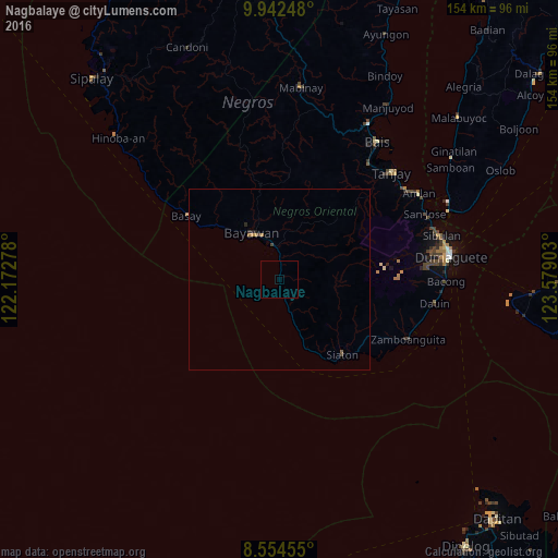
Analysis of Nagbalaye night lights 2016
Square area 10x10 km:
 0%
0%90-99
0%80-89
0%70-79
0%60-69
0%50-59
0%40-49
0%30-39
0%20-29
0%10-19
0%0-9
100%Square area 50x50 km:
0%90-99
0%80-89
0%70-79
0.04%60-69
0.09%50-59
0.03%40-49
0.05%30-39
0.05%20-29
0.1%10-19
0.03%0-9
99.59%Clear (daylight) street map image can be seen on geolist.org.
Map coordinates:
9° 56' 32.9" North, 122° 10' 22" East
9° 14' 57.1" North, 122° 52' 33.2" East
8° 33' 16.4" North, 123° 34' 44.5" East
Some cities around Nagbalaye sort by population:
• Bayawan
15.1 km =9.4 mi,  328°
328°
• Santa Catalina
9.5 km =5.9 mi,  351°
351°
• Nangka
17.9 km =11.1 mi,  341°
341°
• Manalongon
3.3 km =2.1 mi,  160°
160°
• Bonawon
13.7 km =8.5 mi, 159°
• Siaton
26.9 km =16.7 mi,  139°
139°
• Maninihon
14.1 km =8.8 mi, 344°
• Maloh
24.6 km =15.3 mi,  150°
150°
1698777 (p: 5,108)
Sources (retrieved 2019-11-25):
» Earth at Night: Flat Maps 2012, 2016