Bayawan night lights from space
Night Light of Bayawan (Central Visayas) from space (Philippines) Src. Average luminocity for 10x10km area is 3.9459% and for 50x50km: 0.1953%.
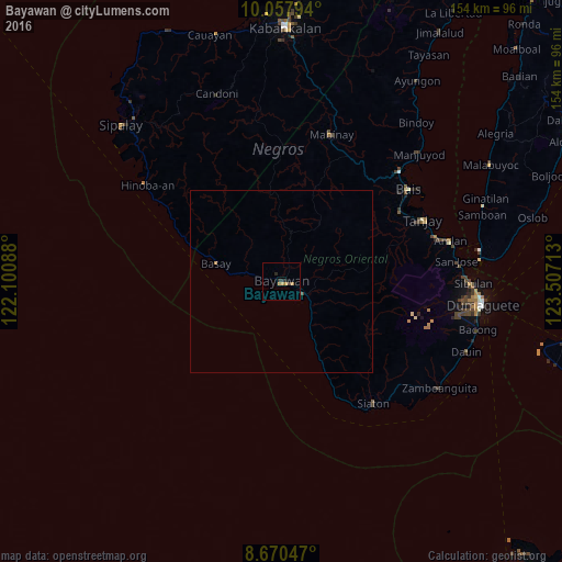
Analysis of Bayawan night lights 2016
Square area 10x10 km:
 0%
0%90-99
0%80-89
0%70-79
1.08%60-69
2.38%50-59
0%40-49
0.22%30-39
0.65%20-29
2.6%10-19
0.87%0-9
92.21%Square area 50x50 km:
0%90-99
0%80-89
0%70-79
0.04%60-69
0.13%50-59
0%40-49
0.03%30-39
0.03%20-29
0.1%10-19
0.03%0-9
99.63%Clear (daylight) street map image can be seen on geolist.org.
Map coordinates:
10° 3' 28.6" North, 122° 6' 3.2" East
9° 21' 53.6" North, 122° 48' 14.4" East
8° 40' 13.7" North, 123° 30' 25.7" East
Some cities around Bayawan sort by population:
• Santa Catalina
7.4 km =4.6 mi,  117°
117°
• Nangka
4.7 km =2.9 mi,  28°
28°
• Manalongon
18.4 km =11.4 mi,  150°
150°
• Bonawon
28.6 km =17.8 mi, 153°
• Colipapa
29.2 km =18.1 mi,  294°
294°
• Maninihon
4.1 km =2.5 mi,  80°
80°
• Tabuan
17.5 km =10.9 mi,  16°
16°
• Nagbalaye
15.1 km =9.4 mi, 148°
1725804 (p: 36,063)
Sources (retrieved 2019-11-25):
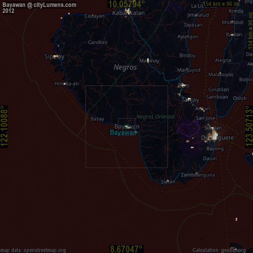
» Earth at Night: Flat Maps 2012, 2016