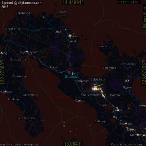
Sipocot night lights from space
Night Light of Sipocot (Bicol) from space (Philippines) Src. Average luminocity for 10x10km area is 1.3244% and for 50x50km: 1.0667%.
Analysis of Sipocot night lights 2016
Square area 10x10 km:
 0%
0%90-99
0%80-89
0%70-79
0%60-69
0%50-59
1.65%40-49
0.41%30-39
0.41%20-29
0%10-19
0%0-9
97.52%Square area 50x50 km:
0.07%90-99
0.12%80-89
0.17%70-79
0.25%60-69
0.04%50-59
0.11%40-49
0.31%30-39
0.12%20-29
0.12%10-19
0.8%0-9
97.89%Clear (daylight) street map image can be seen on geolist.org.
Map coordinates:
14° 26' 59.7" North, 122° 16' 23.1" East
13° 46' 4.8" North, 122° 58' 34.3" East
13° 5' 2.8" North, 123° 40' 45.6" East
Some cities around Sipocot sort by population:
• Naga
27.7 km =17.2 mi,  126°
126°
• Calabanga
26 km =16.2 mi,  105°
105°
• Magarao
25.7 km =16 mi,  117°
117°
• Ragay
20.6 km =12.8 mi,  285°
285°
• Mambulo
9.8 km =6.1 mi, 125°
• Liboro
27.4 km =17 mi,  283°
283°
• Camaligan
26.2 km =16.3 mi, 128°
• San Gabriel
26.1 km =16.2 mi,  149°
149°
1686078 (p: 12,916)
Sources (retrieved 2019-11-25):
» Earth at Night: Flat Maps 2012, 2016