Santa Elena night lights from space
Night Light of Santa Elena (Bicol) from space (Philippines) Src. Average luminocity for 10x10km area is 0.8333% and for 50x50km: 0.1933%.
Analysis of Santa Elena night lights 2016
Square area 10x10 km:
 0%
0%90-99
0%80-89
0.65%70-79
0.22%60-69
0%50-59
0%40-49
0%30-39
0%20-29
0%10-19
0.87%0-9
98.27%Square area 50x50 km:
0%90-99
0%80-89
0.03%70-79
0.08%60-69
0%50-59
0.03%40-49
0.07%30-39
0.08%20-29
0.08%10-19
0.03%0-9
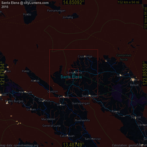
99.6%Clear (daylight) street map image can be seen on geolist.org.
Map coordinates:
14° 51' 3.3" North, 121° 40' 45.6" East
14° 10' 12.8" North, 122° 22' 56.9" East
13° 29' 15" North, 123° 5' 8.1" East
Some cities around Santa Elena sort by population:
• Lopez
34.4 km =21.4 mi,  202°
202°
• Jose Pañganiban
35.9 km =22.3 mi,  68°
68°
• Calauag
25.8 km =16 mi, 203°
• Alabat
40.6 km =25.2 mi,  259°
259°
• Tagkawayan Sabang
25.5 km =15.8 mi,  141°
141°
• Quezon
28.2 km =17.5 mi,  229°
229°
• Rosario
36.1 km =22.4 mi, 199°
• Batobalane
40.2 km =25 mi,  79°
79°
1688185 (p: 14,641)
Sources (retrieved 2019-11-25):
» Earth at Night: Flat Maps 2012, 2016