Salapungan night lights from space
Night Light of Salapungan (Central Luzon) from space (Philippines) Src. Average luminocity for 10x10km area is 2.3905% and for 50x50km: 6.2062%.
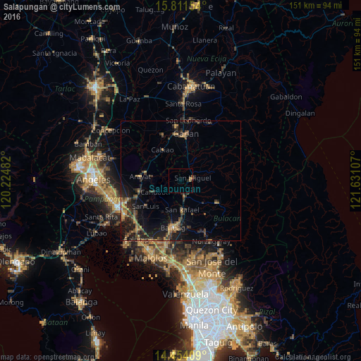
Analysis of Salapungan night lights 2016
Square area 10x10 km:
 0%
0%90-99
0%80-89
0.41%70-79
0.62%60-69
1.03%50-59
0.41%40-49
0%30-39
0%20-29
1.24%10-19
0%0-9
96.28%Square area 50x50 km:
0.07%90-99
0.09%80-89
0.3%70-79
1.38%60-69
1.25%50-59
0.88%40-49
1.44%30-39
1.87%20-29
2.6%10-19
5.86%0-9
84.26%Clear (daylight) street map image can be seen on geolist.org.
Map coordinates:
15° 48' 41.5" North, 120° 13' 29.4" East
15° 8' 2" North, 120° 55' 40.6" East
14° 27' 14.7" North, 121° 37' 51.9" East
Some cities around Salapungan sort by population:
• San Ildefonso
6.1 km =3.8 mi,  166°
166°
• San Miguel
5.2 km =3.2 mi,  79°
79°
• Candaba
11.7 km =7.3 mi,  248°
248°
• Pulo
12.5 km =7.8 mi,  0°
0°
• Bahay Pare
12.4 km =7.7 mi,  204°
204°
• Camias
6.2 km =3.9 mi,  53°
53°
• San Vicente
14.6 km =9.1 mi,  307°
307°
• Tartaro
10.2 km =6.3 mi,  69°
69°
1690955 (p: 5,928)
Sources (retrieved 2019-11-25):
» Earth at Night: Flat Maps 2012, 2016