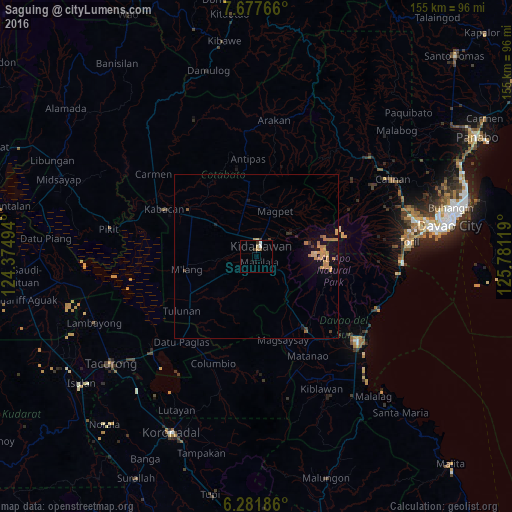
Saguing night lights from space
Night Light of Saguing (Soccsksargen) from space (Philippines) Src. Average luminocity for 10x10km area is 5.9784% and for 50x50km: 1.9841%.
Analysis of Saguing night lights 2016
Square area 10x10 km:
 1.08%
1.08%90-99
0.65%80-89
1.3%70-79
0.43%60-69
0.87%50-59
0.87%40-49
0.65%30-39
1.95%20-29
0%10-19
0%0-9
92.21%Square area 50x50 km:
0.04%90-99
0.04%80-89
0.27%70-79
0.74%60-69
0.53%50-59
0.14%40-49
0.05%30-39
0.29%20-29
0.07%10-19
1.77%0-9
96.05%Clear (daylight) street map image can be seen on geolist.org.
Map coordinates:
7° 40' 39.6" North, 124° 22' 29.8" East
6° 58' 49" North, 125° 4' 41" East
6° 16' 54.7" North, 125° 46' 52.3" East
Some cities around Saguing sort by population:
• Kidapawan
3.4 km =2.1 mi,  21°
21°
• Makilala
3.8 km =2.4 mi,  146°
146°
• President Roxas
19.5 km =12.1 mi,  352°
352°
• Matalam
22.9 km =14.2 mi,  301°
301°
• Bialong
20.9 km =13 mi,  270°
270°
• Amas
13.4 km =8.3 mi,  309°
309°
• Malasila
7 km =4.3 mi,  125°
125°
• Magpet
14 km =8.7 mi, 17°
1691084 (p: 5,073)
Sources (retrieved 2019-11-25):
» Earth at Night: Flat Maps 2012, 2016