Matalam night lights from space
Night Light of Matalam (Soccsksargen) from space (Philippines) Src. Average luminocity for 10x10km area is 0.5519% and for 50x50km: 0.5193%.
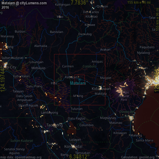
Analysis of Matalam night lights 2016
Square area 10x10 km:
 0%
0%90-99
0%80-89
0%70-79
0%60-69
0%50-59
0.87%40-49
0%30-39
0%20-29
0%10-19
0%0-9
99.13%Square area 50x50 km:
0.04%90-99
0.03%80-89
0.07%70-79
0.12%60-69
0.1%50-59
0.11%40-49
0.03%30-39
0.18%20-29
0.03%10-19
0.1%0-9
99.19%Clear (daylight) street map image can be seen on geolist.org.
Map coordinates:
7° 47' 1" North, 124° 11' 50.8" East
7° 5' 11" North, 124° 54' 2" East
6° 23' 17.2" North, 125° 36' 13.3" East
Some cities around Matalam sort by population:
• Kidapawan
22.6 km =14 mi,  112°
112°
• Kabacan
8.2 km =5.1 mi,  285°
285°
• President Roxas
18.7 km =11.6 mi,  66°
66°
• Carmen
17.8 km =11.1 mi,  317°
317°
• Bialong
11.8 km =7.3 mi,  186°
186°
• Amas
9.8 km =6.1 mi, 109°
• Pagalungan
22.3 km =13.9 mi,  261°
261°
• Saguing
22.9 km =14.2 mi,  121°
121°
1700490 (p: 9,783)
Sources (retrieved 2019-11-25):
» Earth at Night: Flat Maps 2012, 2016