Rodriguez night lights from space
Night Light of Rodriguez (Calabarzon) from space (Philippines) Src. Average luminocity for 10x10km area is 9.2149% and for 50x50km: 26.9439%.
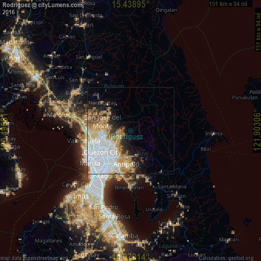
Analysis of Rodriguez night lights 2016
Square area 10x10 km:
 0%
0%90-99
0%80-89
0.41%70-79
2.89%60-69
1.65%50-59
0%40-49
2.89%30-39
1.24%20-29
5.17%10-19
8.88%0-9
76.86%Square area 50x50 km:
10.19%90-99
4.61%80-89
2.62%70-79
4.37%60-69
3.87%50-59
1.98%40-49
1.89%30-39
1.96%20-29
2.63%10-19
4.86%0-9
61.02%Clear (daylight) street map image can be seen on geolist.org.
Map coordinates:
15° 26' 20.2" North, 120° 29' 48.5" East
14° 45' 36.4" North, 121° 11' 59.7" East
14° 4' 44.9" North, 121° 54' 11" East
Some cities around Rodriguez sort by population:
• Quezon City
20.3 km =12.6 mi,  232°
232°
• Antipolo
17.1 km =10.6 mi,  209°
209°
• San Jose del Monte
17.7 km =11 mi,  289°
289°
• San Mateo
10.7 km =6.6 mi, 230°
• Bagong Pagasa
21 km =13 mi,  238°
238°
• Malanday
9.5 km =5.9 mi, 231°
• Calumpang
19.3 km =12 mi,  217°
217°
• Pinugay
19.4 km =12.1 mi,  159°
159°
1699296 (p: 134,432)
Sources (retrieved 2019-11-25):
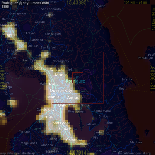
» NASA, Earths city lights 1995
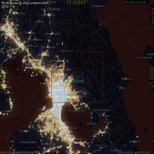
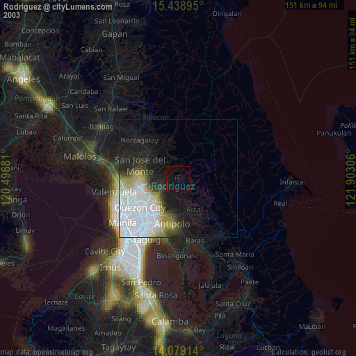
» NASA city lights 2003
» Earth at Night: Flat Maps 2012, 2016