Patuto night lights from space
Night Light of Patuto (Calabarzon) from space (Philippines) Src. Average luminocity for 10x10km area is 31.7446% and for 50x50km: 25.3284%.
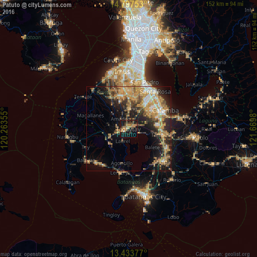

Analysis of Patuto night lights 2016
Square area 10x10 km:
 0.87%
0.87%90-99
0.87%80-89
1.52%70-79
9.96%60-69
10.61%50-59
3.46%40-49
5.41%30-39
6.93%20-29
2.38%10-19
44.81%0-9
13.2%Square area 50x50 km:
1.8%90-99
2.63%80-89
2.71%70-79
8.57%60-69
5.36%50-59
2.64%40-49
4.31%30-39
3.5%20-29
6.43%10-19
12.16%0-9
49.9%Clear (daylight) street map image can be seen on geolist.org.
Map coordinates:
14° 47' 51.1" North, 120° 15' 48.8" East
14° 7' 0" North, 120° 58' 0" East
13° 26' 1.6" North, 121° 40' 11.3" East
Some cities around Patuto sort by population:
• Tagaytay
4.3 km =2.7 mi,  236°
236°
• Talisay
6.5 km =4 mi,  114°
114°
• Mendez-Nuñez
6.7 km =4.2 mi,  281°
281°
• Amadeo
7.6 km =4.7 mi,  322°
322°
• Laurel
8.5 km =5.3 mi,  216°
216°
• Ambulong
10.7 km =6.6 mi, 107°
• Balite Segundo
7.4 km =4.6 mi,  6°
6°
• Malabag
4.3 km =2.7 mi,  358°
358°
1694290 (p: 52,883)
Sources (retrieved 2019-11-25):
» NASA, Earths city lights 1995
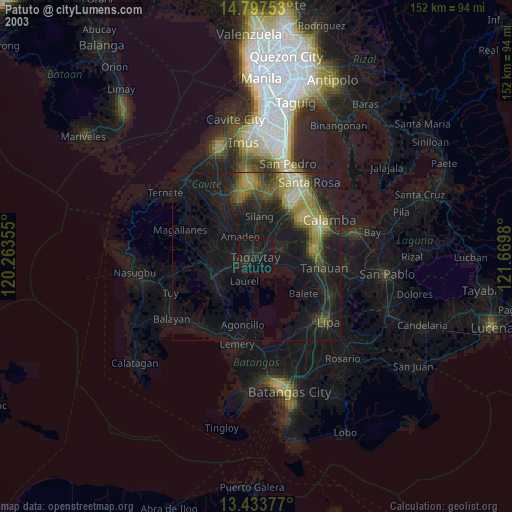
» NASA city lights 2003
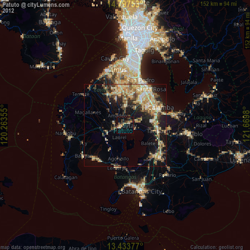
» Earth at Night: Flat Maps 2012, 2016