Mendez-Nuñez night lights from space
Night Light of Mendez-Nuñez (Calabarzon) from space (Philippines) Src. Average luminocity for 10x10km area is 25.0411% and for 50x50km: 21.0735%.
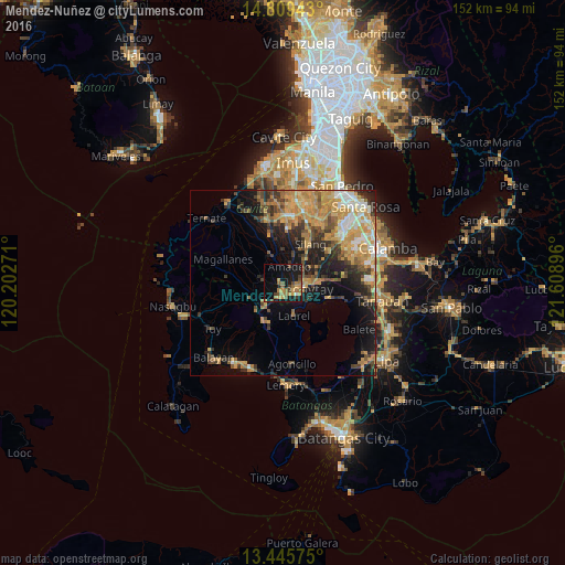
Analysis of Mendez-Nuñez night lights 2016
Square area 10x10 km:
 0.43%
0.43%90-99
0.43%80-89
0.87%70-79
7.36%60-69
9.09%50-59
3.46%40-49
5.63%30-39
3.03%20-29
1.52%10-19
31.17%0-9
37.01%Square area 50x50 km:
1.69%90-99
2.33%80-89
2.38%70-79
7.05%60-69
4.12%50-59
2.12%40-49
3.78%30-39
2.82%20-29
4.11%10-19
10.15%0-9
59.46%Clear (daylight) street map image can be seen on geolist.org.
Map coordinates:
14° 48' 33.9" North, 120° 12' 9.8" East
14° 7' 43" North, 120° 54' 21" East
13° 26' 44.7" North, 121° 36' 32.3" East
Some cities around Mendez-Nuñez sort by population:
• Tagaytay
4.8 km =3 mi,  141°
141°
• Patuto
6.7 km =4.2 mi,  101°
101°
• Indang
8 km =5 mi,  337°
337°
• Amadeo
5 km =3.1 mi,  22°
22°
• Laurel
8.3 km =5.2 mi,  169°
169°
• Alfonso
5.8 km =3.6 mi,  283°
283°
• Balite Segundo
9.6 km =6 mi,  50°
50°
• Malabag
7.1 km =4.4 mi,  65°
65°
1699858 (p: 22,081)
Sources (retrieved 2019-11-25):
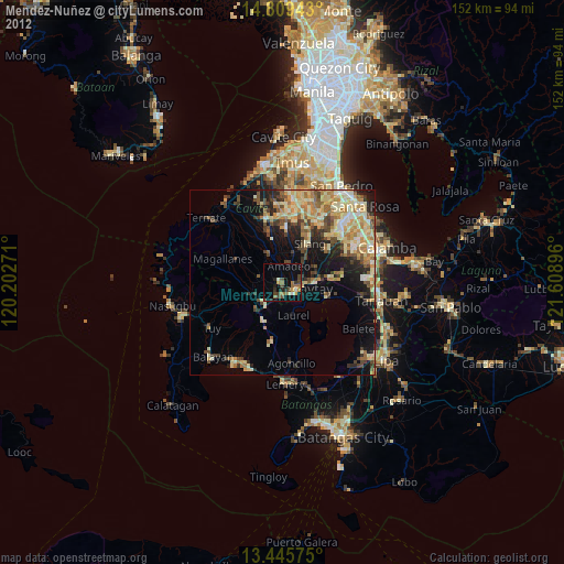
» Earth at Night: Flat Maps 2012, 2016