Calbayog City night lights from space
Night Light of Calbayog City (Eastern Visayas) from space (Philippines) Src. Average luminocity for 10x10km area is 5.1219% and for 50x50km: 0.2235%.
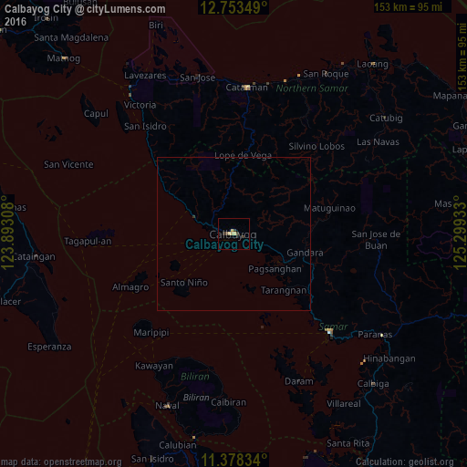
Analysis of Calbayog City night lights 2016
Square area 10x10 km:
 0%
0%90-99
0%80-89
2.69%70-79
0.62%60-69
0%50-59
0%40-49
0.83%30-39
2.48%20-29
1.45%10-19
0.21%0-9
91.74%Square area 50x50 km:
0%90-99
0%80-89
0.11%70-79
0.03%60-69
0%50-59
0%40-49
0.03%30-39
0.13%20-29
0.06%10-19
0.01%0-9
99.63%Clear (daylight) street map image can be seen on geolist.org.
Map coordinates:
12° 45' 12.6" North, 123° 53' 35.1" East
12° 4' 0.5" North, 124° 35' 46.3" East
11° 22' 42" North, 125° 17' 57.6" East
Some cities around Calbayog City sort by population:
• Catbalogan
45.2 km =28.1 mi,  135°
135°
• Catarman
48.3 km =30 mi,  5°
5°
• Pagsanghan
17.6 km =10.9 mi,  129°
129°
• Caibiran
55.1 km =34.2 mi,  181°
181°
• Culaba
45.9 km =28.5 mi,  187°
187°
• Alegria
47.1 km =29.3 mi,  321°
321°
• San Policarpio
2.9 km =1.8 mi,  273°
273°
• Mondragon
52.7 km =32.7 mi,  18°
18°
1720402 (p: 67,921)
Sources (retrieved 2019-11-25):
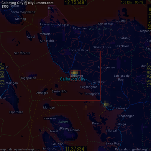
» NASA, Earths city lights 1995
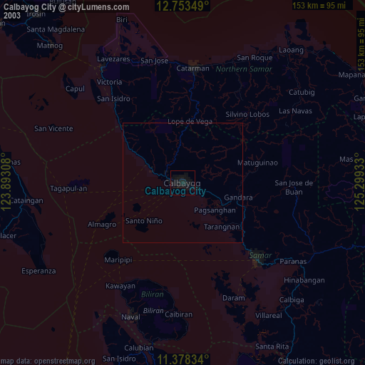
» NASA city lights 2003
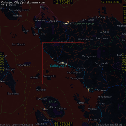
» Earth at Night: Flat Maps 2012, 2016