Natividad night lights from space
Night Light of Natividad (Ilocos) from space (Philippines) Src. Average luminocity for 10x10km area is 0.0331% and for 50x50km: 1.8567%.
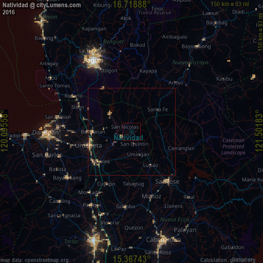
Analysis of Natividad night lights 2016
Square area 10x10 km:
 0%
0%90-99
0%80-89
0%70-79
0%60-69
0%50-59
0%40-49
0%30-39
0%20-29
0%10-19
0%0-9
100%Square area 50x50 km:
0.01%90-99
0.01%80-89
0.26%70-79
0.52%60-69
0.34%50-59
0.23%40-49
0.4%30-39
0.56%20-29
0.4%10-19
0.43%0-9
96.84%Clear (daylight) street map image can be seen on geolist.org.
Map coordinates:
16° 43' 8" North, 120° 5' 44.1" East
16° 2' 39.5" North, 120° 47' 55.3" East
15° 22' 2.7" North, 121° 30' 6.6" East
Some cities around Natividad sort by population:
• Guiset East
12.6 km =7.8 mi,  281°
281°
• Tayug
6.2 km =3.9 mi,  252°
252°
• Lupao
21.2 km =13.2 mi,  149°
149°
• Asingan
14.5 km =9 mi, 252°
• Binalonan
22 km =13.7 mi,  271°
271°
• Carusucan
19.5 km =12.1 mi,  243°
243°
• Macalong
15.4 km =9.6 mi,  257°
257°
• Domampot
16.6 km =10.3 mi, 252°
1697970 (p: 5,828)
Sources (retrieved 2019-11-25):
» Earth at Night: Flat Maps 2012, 2016