Guiset East night lights from space
Night Light of Guiset East (Ilocos) from space (Philippines) Src. Average luminocity for 10x10km area is 1.6302% and for 50x50km: 2.766%.
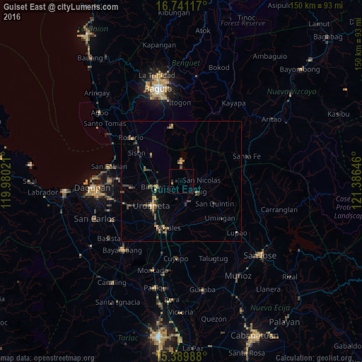

Analysis of Guiset East night lights 2016
Square area 10x10 km:
 0%
0%90-99
0%80-89
0%70-79
0.83%60-69
0%50-59
0%40-49
0%30-39
0.62%20-29
1.03%10-19
0%0-9
97.52%Square area 50x50 km:
0.02%90-99
0.02%80-89
0.3%70-79
0.69%60-69
0.39%50-59
0.41%40-49
0.82%30-39
0.84%20-29
0.64%10-19
0.63%0-9
95.25%Clear (daylight) street map image can be seen on geolist.org.
Map coordinates:
16° 44' 28.2" North, 119° 58' 48.8" East
16° 4' 0" North, 120° 40' 60" East
15° 23' 23.6" North, 121° 23' 11.3" East
Some cities around Guiset East sort by population:
• Urdaneta
15.7 km =9.8 mi,  229°
229°
• Tayug
7.8 km =4.8 mi,  124°
124°
• Asingan
7 km =4.3 mi,  192°
192°
• Binalonan
9.9 km =6.2 mi,  259°
259°
• Carusucan
12.3 km =7.6 mi,  204°
204°
• Natividad
12.6 km =7.8 mi,  101°
101°
• Macalong
6.5 km =4 mi, 204°
• Domampot
8.2 km =5.1 mi,  205°
205°
1712232 (p: 21,994)
Sources (retrieved 2019-11-25):
» Earth at Night: Flat Maps 2012, 2016