Macalong night lights from space
Night Light of Macalong (Ilocos) from space (Philippines) Src. Average luminocity for 10x10km area is 2.1963% and for 50x50km: 3.0701%.
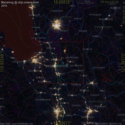
Analysis of Macalong night lights 2016
Square area 10x10 km:
 0%
0%90-99
0%80-89
0%70-79
0.41%60-69
0%50-59
0%40-49
0%30-39
1.24%20-29
1.24%10-19
0%0-9
97.11%Square area 50x50 km:
0.02%90-99
0.02%80-89
0.33%70-79
0.65%60-69
0.45%50-59
0.44%40-49
1.01%30-39
0.93%20-29
0.7%10-19
0.81%0-9
94.64%Clear (daylight) street map image can be seen on geolist.org.
Map coordinates:
16° 41' 18.2" North, 119° 57' 19.7" East
16° 0' 49.3" North, 120° 39' 31" East
15° 20' 12.2" North, 121° 21' 42.2" East
Some cities around Macalong sort by population:
• Urdaneta
10.2 km =6.3 mi,  245°
245°
• Guiset East
6.5 km =4 mi,  24°
24°
• Tayug
9.2 km =5.7 mi,  80°
80°
• Asingan
1.5 km =0.9 mi,  129°
129°
• Binalonan
8.1 km =5 mi,  299°
299°
• Carusucan
5.8 km =3.6 mi,  204°
204°
• Caramutan
11.6 km =7.2 mi,  206°
206°
• Domampot
1.8 km =1.1 mi, 211°
1704386 (p: 5,802)
Sources (retrieved 2019-11-25):
» Earth at Night: Flat Maps 2012, 2016