Muñoz night lights from space
Night Light of Muñoz (Central Luzon) from space (Philippines) Src. Average luminocity for 10x10km area is 2.7338% and for 50x50km: 1.6772%.

Analysis of Muñoz night lights 2016
Square area 10x10 km:
 0%
0%90-99
0%80-89
0%70-79
0%60-69
0%50-59
0.87%40-49
2.38%30-39
1.73%20-29
1.08%10-19
0%0-9
93.94%Square area 50x50 km:
0%90-99
0%80-89
0.13%70-79
0.47%60-69
0.22%50-59
0.18%40-49
0.48%30-39
0.63%20-29
0.33%10-19
0.96%0-9
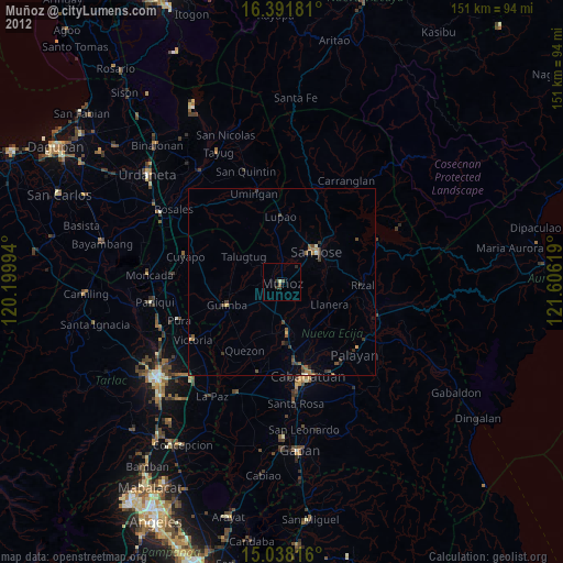
96.6%Clear (daylight) street map image can be seen on geolist.org.
Map coordinates:
16° 23' 30.5" North, 120° 11' 59.8" East
15° 42' 58" North, 120° 54' 11" East
15° 2' 17.4" North, 121° 36' 22.3" East
Some cities around Muñoz sort by population:
• Talavera
14.3 km =8.9 mi,  173°
173°
• Guimba
15.7 km =9.8 mi,  246°
246°
• Baloc
8.3 km =5.2 mi,  193°
193°
• Mabini
15.5 km =9.6 mi,  146°
146°
• Talugtug
12 km =7.5 mi,  304°
304°
• Santo Rosario
9.1 km =5.7 mi,  209°
209°
• Santo Tomas
7.4 km =4.6 mi,  59°
59°
• Llanera
13.6 km =8.5 mi,  115°
115°
1699088 (p: 37,141)
Sources (retrieved 2019-11-25):
» Earth at Night: Flat Maps 2012, 2016