Alegria night lights from space
Night Light of Alegria (Eastern Visayas) from space (Philippines) Src. Average luminocity for 10x10km area is 0% and for 50x50km: 0.0585%.
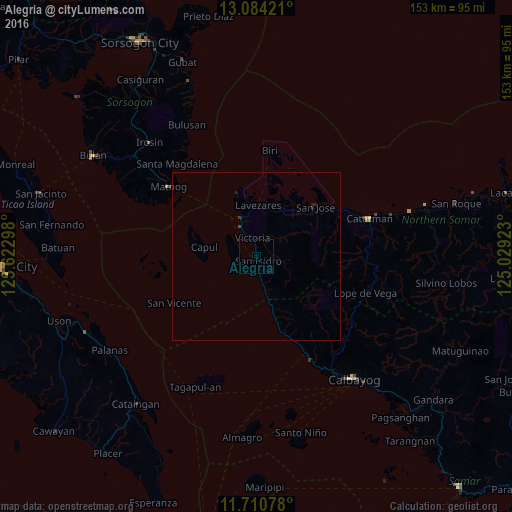
Analysis of Alegria night lights 2016
Square area 10x10 km:
 0%
0%90-99
0%80-89
0%70-79
0%60-69
0%50-59
0%40-49
0%30-39
0%20-29
0%10-19
0%0-9
100%Square area 50x50 km:
0%90-99
0%80-89
0%70-79
0%60-69
0%50-59
0%40-49
0.03%30-39
0.03%20-29
0.05%10-19
0.08%0-9
99.8%Clear (daylight) street map image can be seen on geolist.org.
Map coordinates:
13° 5' 3.2" North, 123° 37' 22.7" East
12° 23' 54.2" North, 124° 19' 34" East
11° 42' 38.8" North, 125° 1' 45.2" East
Some cities around Alegria sort by population:
• Calbayog City
47.1 km =29.3 mi,  141°
141°
• Catarman
35.6 km =22.1 mi,  71°
71°
• Irosin
46.3 km =28.8 mi,  316°
316°
• Allen
12.2 km =7.6 mi,  338°
338°
• Matnog
33.4 km =20.8 mi,  309°
309°
• Bulusan
44.9 km =27.9 mi,  330°
330°
• San Policarpio
45.2 km =28.1 mi, 144°
• Mondragon
48.1 km =29.9 mi, 74°
1731554 (p: 5,811)
Sources (retrieved 2019-11-25):
» Earth at Night: Flat Maps 2012, 2016