NIA Valencia night lights from space
Night Light of NIA Valencia (Northern Mindanao) from space (Philippines) Src. Average luminocity for 10x10km area is 10.0186% and for 50x50km: 1.0354%.
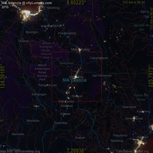
Analysis of NIA Valencia night lights 2016
Square area 10x10 km:
 0.83%
0.83%90-99
0.83%80-89
0.62%70-79
0.21%60-69
2.07%50-59
3.72%40-49
2.27%30-39
2.69%20-29
1.24%10-19
2.89%0-9
82.64%Square area 50x50 km:
0.03%90-99
0.07%80-89
0.09%70-79
0.14%60-69
0.15%50-59
0.25%40-49
0.24%30-39
0.35%20-29
0.23%10-19
0.21%0-9
98.23%Clear (daylight) street map image can be seen on geolist.org.
Map coordinates:
8° 36' 8" North, 124° 23' 27.8" East
7° 54' 23" North, 125° 5' 39" East
7° 12' 33.8" North, 125° 47' 50.3" East
Some cities around NIA Valencia sort by population:
• Maramag
18.7 km =11.6 mi,  211°
211°
• Dologon
9.1 km =5.7 mi,  216°
216°
• Lurugan
18.6 km =11.6 mi,  311°
311°
• Managok
17.1 km =10.6 mi,  37°
37°
• Linabo
17.7 km =11 mi,  22°
22°
• Aglayan
17.1 km =10.6 mi,  14°
14°
• Mailag
8.6 km =5.3 mi,  33°
33°
• Lantapan
12.5 km =7.8 mi,  324°
324°
1680116 (p: 83,591)
Sources (retrieved 2019-11-25):
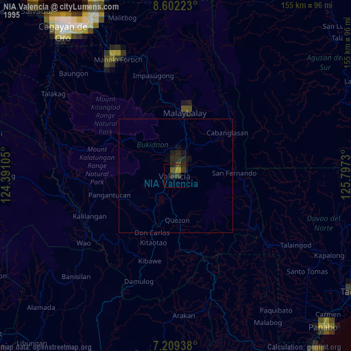
» NASA, Earths city lights 1995
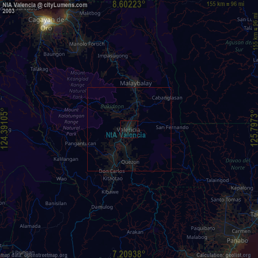
» NASA city lights 2003
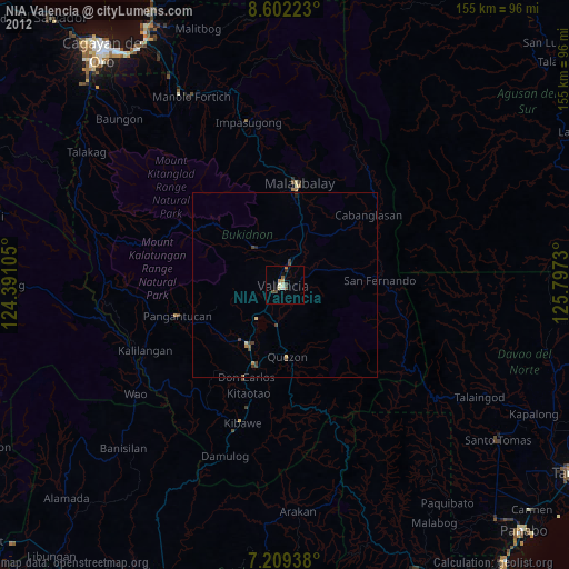
» Earth at Night: Flat Maps 2012, 2016