Bignay Uno night lights from space
Night Light of Bignay Uno (Calabarzon) from space (Philippines) Src. Average luminocity for 10x10km area is 0.5599% and for 50x50km: 4.4865%.
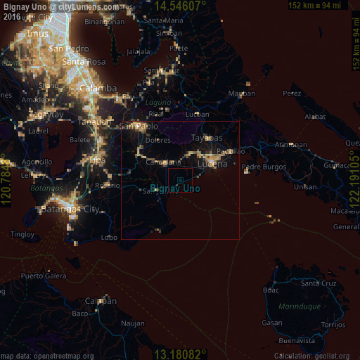
Analysis of Bignay Uno night lights 2016
Square area 10x10 km:
 0%
0%90-99
0%80-89
0%70-79
0%60-69
0%50-59
0%40-49
0%30-39
0.83%20-29
0%10-19
0%0-9
99.17%Square area 50x50 km:
0.05%90-99
0.06%80-89
0.41%70-79
1.22%60-69
0.94%50-59
0.75%40-49
0.88%30-39
1%20-29
0.8%10-19
3.06%0-9
90.84%Clear (daylight) street map image can be seen on geolist.org.
Map coordinates:
14° 32' 45.9" North, 120° 47' 5.3" East
13° 51' 52" North, 121° 29' 16.5" East
13° 10' 51" North, 122° 11' 27.8" East
Some cities around Bignay Uno sort by population:
• Candelaria
10.2 km =6.3 mi,  316°
316°
• Sariaya
11.7 km =7.3 mi,  20°
20°
• Concepcion Ibaba
7.1 km =4.4 mi,  335°
335°
• Malabanban Norte
10.9 km =6.8 mi,  325°
325°
• Castañas
7.1 km =4.4 mi,  81°
81°
• Santa Catalina Sur
6.2 km =3.9 mi,  279°
279°
• Guisguis
3.5 km =2.2 mi,  72°
72°
• Janagdong
5.1 km =3.2 mi,  32°
32°
1725359 (p: 22,401)
Sources (retrieved 2019-11-25):
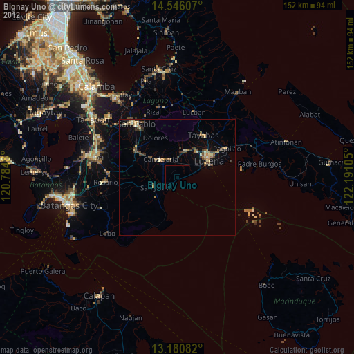
» Earth at Night: Flat Maps 2012, 2016