Lubao night lights from space
Night Light of Lubao (Central Luzon) from space (Philippines) Src. Average luminocity for 10x10km area is 10.219% and for 50x50km: 14.0699%.


Analysis of Lubao night lights 2016
Square area 10x10 km:
 0%
0%90-99
0%80-89
0%70-79
1.45%60-69
1.03%50-59
1.03%40-49
5.99%30-39
3.31%20-29
7.02%10-19
5.58%0-9
74.59%Square area 50x50 km:
0.55%90-99
0.75%80-89
0.94%70-79
3.77%60-69
3.28%50-59
1.55%40-49
3.17%30-39
3.26%20-29
5.1%10-19
9.35%0-9
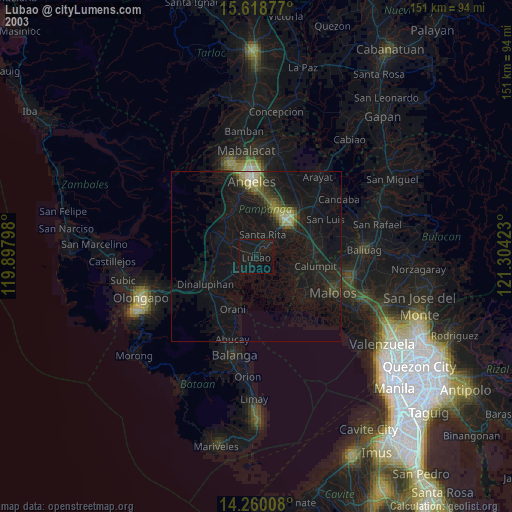
68.28%Clear (daylight) street map image can be seen on geolist.org.
Map coordinates:
15° 37' 7.6" North, 119° 53' 52.7" East
14° 56' 25.8" North, 120° 36' 4" East
14° 15' 36.3" North, 121° 18' 15.2" East
Some cities around Lubao sort by population:
• Sexmoan
2.4 km =1.5 mi,  81°
81°
• Santa Cruz
4.8 km =3 mi,  230°
230°
• Minalin
9.3 km =5.8 mi,  71°
71°
• Lourdes
9.3 km =5.8 mi, 71°
• San Roque Dau First
4.8 km =3 mi,  327°
327°
• Guagua
4.4 km =2.7 mi,  50°
50°
• Pulungmasle
8.1 km =5 mi, 325°
• Santiago
10.5 km =6.5 mi,  247°
247°
1705440 (p: 55,645)
Sources (retrieved 2019-11-25):
» NASA, Earths city lights 1995
» NASA city lights 2003
» Earth at Night: Flat Maps 2012, 2016