Lipayran night lights from space
Night Light of Lipayran (Central Visayas) from space (Philippines) Src. Average luminocity for 10x10km area is 0% and for 50x50km: 0.3017%.
Analysis of Lipayran night lights 2016
Square area 10x10 km:
 0%
0%90-99
0%80-89
0%70-79
0%60-69
0%50-59
0%40-49
0%30-39
0%20-29
0%10-19
0%0-9
100%Square area 50x50 km:
0%90-99
0%80-89
0.03%70-79
0.1%60-69
0.09%50-59
0.01%40-49
0.03%30-39
0.1%20-29
0.13%10-19
0.08%0-9
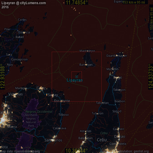
99.42%Clear (daylight) street map image can be seen on geolist.org.
Map coordinates:
11° 44' 54.7" North, 122° 55' 51.9" East
11° 3' 33.5" North, 123° 38' 3.1" East
10° 22' 6.4" North, 124° 20' 14.4" East
Some cities around Lipayran sort by population:
• Sagay
26.2 km =16.3 mi,  240°
240°
• Escalante
28.5 km =17.7 mi,  211°
211°
• Bantayan
15.5 km =9.6 mi,  38°
38°
• Bolanon
23.6 km =14.7 mi,  227°
227°
• Vito
21.7 km =13.5 mi,  216°
216°
• Patao
19 km =11.8 mi,  19°
19°
• Tinaan
26.3 km =16.3 mi,  28°
28°
• Plaridel
24 km =14.9 mi, 221°
1706034 (p: 6,813)
Sources (retrieved 2019-11-25):
» Earth at Night: Flat Maps 2012, 2016