Tinaan night lights from space
Night Light of Tinaan (Central Visayas) from space (Philippines) Src. Average luminocity for 10x10km area is 0.4524% and for 50x50km: 0.3184%.
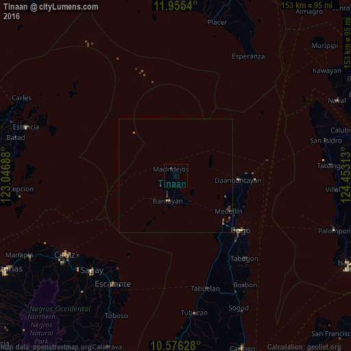
Analysis of Tinaan night lights 2016
Square area 10x10 km:
 0%
0%90-99
0%80-89
0%70-79
0%60-69
0%50-59
0%40-49
0.87%30-39
0%20-29
0%10-19
0%0-9
99.13%Square area 50x50 km:
0%90-99
0%80-89
0%70-79
0.07%60-69
0.03%50-59
0.1%40-49
0.07%30-39
0.14%20-29
0.23%10-19
0.08%0-9
99.29%Clear (daylight) street map image can be seen on geolist.org.
Map coordinates:
11° 57' 19.4" North, 123° 2' 48.8" East
11° 16' 0" North, 123° 45' 0" East
10° 34' 34.6" North, 124° 27' 11.3" East
Some cities around Tinaan sort by population:
• Bantayan
11.3 km =7 mi,  195°
195°
• Daanbantayan
28.9 km =18 mi,  94°
94°
• Medellin
27.8 km =17.3 mi,  123°
123°
• Tapilon
30.6 km =19 mi, 87°
• Maya
33.3 km =20.7 mi, 88°
• Lipayran
26.3 km =16.3 mi,  208°
208°
• Patao
8.1 km =5 mi,  230°
230°
• Kauit
23.2 km =14.4 mi,  112°
112°
1682026 (p: 5,959)
Sources (retrieved 2019-11-25):
» Earth at Night: Flat Maps 2012, 2016