Escalante night lights from space
Night Light of Escalante (Western Visayas) from space (Philippines) Src. Average luminocity for 10x10km area is 2.3009% and for 50x50km: 0.7581%.
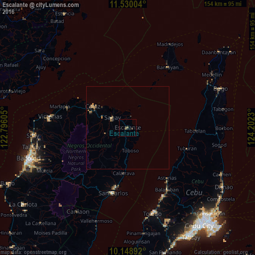
Analysis of Escalante night lights 2016
Square area 10x10 km:
 0%
0%90-99
0%80-89
0%70-79
0%60-69
1.73%50-59
0%40-49
0.65%30-39
1.08%20-29
0.87%10-19
0%0-9
95.67%Square area 50x50 km:
0%90-99
0%80-89
0.09%70-79
0.2%60-69
0.31%50-59
0.06%40-49
0.14%30-39
0.19%20-29
0.15%10-19
0.08%0-9
98.78%Clear (daylight) street map image can be seen on geolist.org.
Map coordinates:
11° 31' 48.1" North, 122° 47' 45.8" East
10° 50' 25" North, 123° 29' 57" East
10° 8' 56.1" North, 124° 12' 8.3" East
Some cities around Escalante sort by population:
• Sagay
14.2 km =8.8 mi,  324°
324°
• Toboso
14.1 km =8.8 mi,  172°
172°
• Bolanon
9 km =5.6 mi,  341°
341°
• Mabini
5.2 km =3.2 mi,  197°
197°
• Vito
7.2 km =4.5 mi,  14°
14°
• Bato
14.2 km =8.8 mi,  255°
255°
• Lopez Jaena
9.3 km =5.8 mi,  275°
275°
• Plaridel
6.4 km =4 mi,  350°
350°
1713818 (p: 39,177)
Sources (retrieved 2019-11-25):
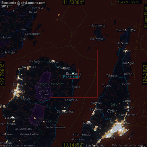
» Earth at Night: Flat Maps 2012, 2016