Bantayan night lights from space
Night Light of Bantayan (Central Visayas) from space (Philippines) Src. Average luminocity for 10x10km area is 2.3701% and for 50x50km: 0.1969%.
Analysis of Bantayan night lights 2016
Square area 10x10 km:
 0%
0%90-99
0%80-89
0%70-79
1.73%60-69
0%50-59
0%40-49
0%30-39
0.87%20-29
1.08%10-19
1.52%0-9
94.81%Square area 50x50 km:
0%90-99
0%80-89
0%70-79
0.07%60-69
0%50-59
0.07%40-49
0.07%30-39
0.07%20-29
0.06%10-19
0.08%0-9
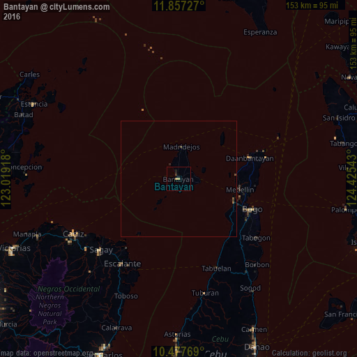
99.59%Clear (daylight) street map image can be seen on geolist.org.
Map coordinates:
11° 51' 26.2" North, 123° 1' 9" East
11° 10' 5.9" North, 123° 43' 20.3" East
10° 28' 39.7" North, 124° 25' 31.5" East
Some cities around Bantayan sort by population:
• Bogo
33.5 km =20.8 mi,  112°
112°
• Daanbantayan
33.1 km =20.6 mi,  74°
74°
• Medellin
26.5 km =16.5 mi,  99°
99°
• Lipayran
15.5 km =9.6 mi,  218°
218°
• Cayang
30.6 km =19 mi, 111°
• Patao
6.6 km =4.1 mi,  330°
330°
• Tinaan
11.3 km =7 mi,  15°
15°
• Kauit
24.5 km =15.2 mi,  85°
85°
1727043 (p: 18,984)
Sources (retrieved 2019-11-25):
» Earth at Night: Flat Maps 2012, 2016