Lala night lights from space
Night Light of Lala (Soccsksargen) from space (Philippines) Src. Average luminocity for 10x10km area is 3.938% and for 50x50km: 1.4629%.
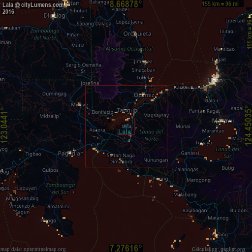
Analysis of Lala night lights 2016
Square area 10x10 km:
 0%
0%90-99
0%80-89
0%70-79
2.07%60-69
1.24%50-59
0%40-49
0%30-39
1.03%20-29
0.62%10-19
1.86%0-9
93.18%Square area 50x50 km:
0%90-99
0%80-89
0.15%70-79
0.5%60-69
0.35%50-59
0.08%40-49
0.29%30-39
0.51%20-29
0.43%10-19
0.25%0-9
97.44%Clear (daylight) street map image can be seen on geolist.org.
Map coordinates:
8° 40' 7.6" North, 123° 2' 38.8" East
7° 58' 23" North, 123° 44' 50" East
7° 16' 34.2" North, 124° 27' 1.3" East
Some cities around Lala sort by population:
• Ozamiz City
22 km =13.7 mi,  27°
27°
• Tangub
9.9 km =6.2 mi,  0°
0°
• Maranding
6 km =3.7 mi,  153°
153°
• Tucuran
23.3 km =14.5 mi,  234°
234°
• Tubod
10.3 km =6.4 mi, 27°
• Kapatagan
8.4 km =5.2 mi,  163°
163°
• Aurora
18.3 km =11.4 mi,  262°
262°
• Caromatan
20 km =12.4 mi,  190°
190°
1707943 (p: 9,273)
Sources (retrieved 2019-11-25):
» Earth at Night: Flat Maps 2012, 2016