Kapatagan night lights from space
Night Light of Kapatagan (Northern Mindanao) from space (Philippines) Src. Average luminocity for 10x10km area is 2.2665% and for 50x50km: 1.2693%.
Analysis of Kapatagan night lights 2016
Square area 10x10 km:
 0%
0%90-99
0%80-89
0%70-79
0%60-69
0%50-59
0%40-49
1.45%30-39
2.89%20-29
0.62%10-19
1.03%0-9
94.01%Square area 50x50 km:
0%90-99
0%80-89
0.19%70-79
0.48%60-69
0.24%50-59
0.04%40-49
0.24%30-39
0.36%20-29
0.45%10-19
0.24%0-9
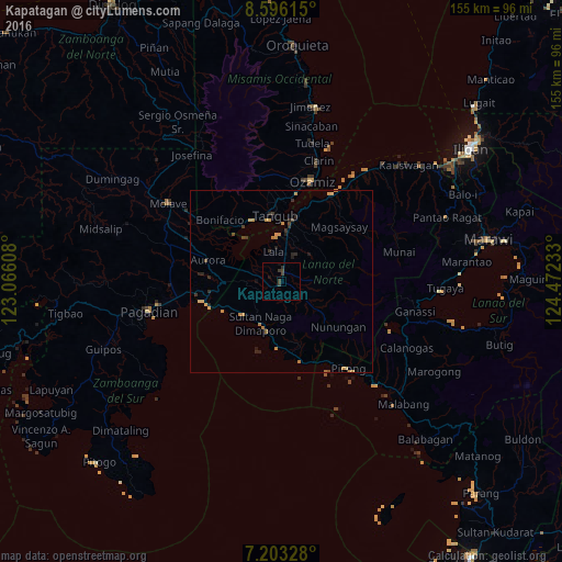
97.76%Clear (daylight) street map image can be seen on geolist.org.
Map coordinates:
8° 35' 46.1" North, 123° 3' 57.9" East
7° 54' 1.1" North, 123° 46' 9.1" East
7° 12' 11.8" North, 124° 28' 20.4" East
Some cities around Kapatagan sort by population:
• Ozamiz City
28.6 km =17.8 mi,  15°
15°
• Tangub
18.1 km =11.2 mi,  352°
352°
• Maranding
2.7 km =1.7 mi,  5°
5°
• Tucuran
22.1 km =13.7 mi,  256°
256°
• Tubod
17.4 km =10.8 mi, 7°
• Lala
8.4 km =5.2 mi,  343°
343°
• Aurora
21.3 km =13.2 mi,  285°
285°
• Caromatan
13.1 km =8.1 mi,  207°
207°
1709248 (p: 9,664)
Sources (retrieved 2019-11-25):
» Earth at Night: Flat Maps 2012, 2016