Kibangay night lights from space
Night Light of Kibangay (Northern Mindanao) from space (Philippines) Src. Average luminocity for 10x10km area is 0% and for 50x50km: 0.7345%.
Analysis of Kibangay night lights 2016
Square area 10x10 km:
 0%
0%90-99
0%80-89
0%70-79
0%60-69
0%50-59
0%40-49
0%30-39
0%20-29
0%10-19
0%0-9
100%Square area 50x50 km:
0.03%90-99
0.03%80-89
0.03%70-79
0.06%60-69
0.08%50-59
0.22%40-49
0.18%30-39
0.36%20-29
0.28%10-19
0.24%0-9
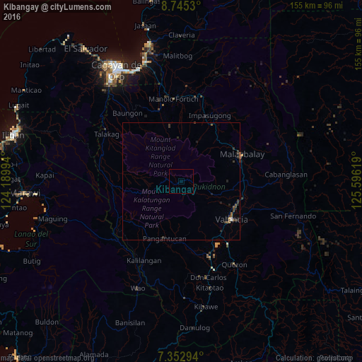
98.48%Clear (daylight) street map image can be seen on geolist.org.
Map coordinates:
8° 44' 43.1" North, 124° 11' 23.8" East
8° 2' 59" North, 124° 53' 35" East
7° 21' 10.6" North, 125° 35' 46.3" East
Some cities around Kibangay sort by population:
• NIA Valencia
27.3 km =17 mi,  125°
125°
• Casisang
27.4 km =17 mi,  68°
68°
• Sumpong
27.8 km =17.3 mi,  63°
63°
• Lurugan
8.9 km =5.5 mi,  114°
114°
• Aglayan
26.6 km =16.5 mi,  88°
88°
• Sumilao
27 km =16.8 mi,  12°
12°
• San Miguel
15.5 km =9.6 mi,  261°
261°
• Lantapan
15.9 km =9.9 mi, 111°
1708872 (p: 6,539)
Sources (retrieved 2019-11-25):
» Earth at Night: Flat Maps 2012, 2016