Dingalan night lights from space
Night Light of Dingalan (Central Luzon) from space (Philippines) Src. Average luminocity for 10x10km area is 0% and for 50x50km: 0.0064%.
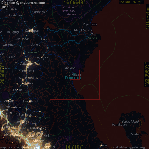
Analysis of Dingalan night lights 2016
Square area 10x10 km:
 0%
0%90-99
0%80-89
0%70-79
0%60-69
0%50-59
0%40-49
0%30-39
0%20-29
0%10-19
0%0-9
100%Square area 50x50 km:
0%90-99
0%80-89
0%70-79
0%60-69
0%50-59
0%40-49
0%30-39
0%20-29
0%10-19
0.03%0-9
99.97%Clear (daylight) street map image can be seen on geolist.org.
Map coordinates:
16° 3' 59.4" North, 120° 41' 23.2" East
15° 23' 22.9" North, 121° 23' 34.4" East
14° 42' 38.5" North, 122° 5' 45.7" East
Some cities around Dingalan sort by population:
• Bongabon
37.9 km =23.5 mi,  315°
315°
• General Tinio
37.3 km =23.2 mi,  263°
263°
• Peñaranda
41.9 km =26 mi, 264°
• Palayan City
37.1 km =23.1 mi,  297°
297°
• Laur
31.3 km =19.4 mi,  314°
314°
• Gabaldon
9.1 km =5.7 mi, 320°
• Ligaya
17.5 km =10.9 mi, 319°
• Umiray
18.9 km =11.7 mi,  174°
174°
1714743 (p: 7,315)
Sources (retrieved 2019-11-25):
» Earth at Night: Flat Maps 2012, 2016