Umiray night lights from space
Night Light of Umiray (Central Luzon) from space (Philippines) Src. Average luminocity for 10x10km area is 0% and for 50x50km: 0.0003%.
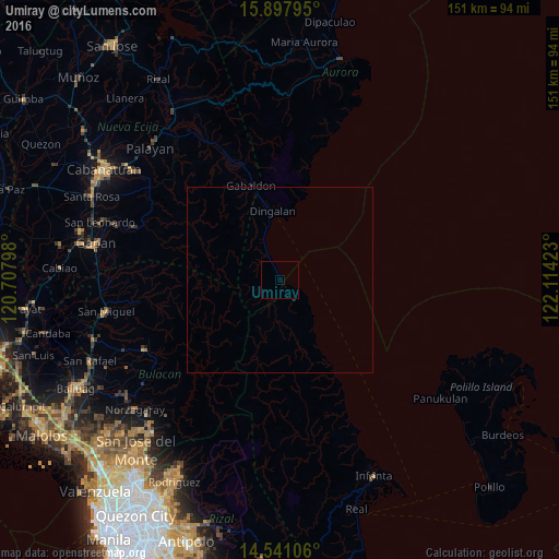
Analysis of Umiray night lights 2016
Square area 10x10 km:
 0%
0%90-99
0%80-89
0%70-79
0%60-69
0%50-59
0%40-49
0%30-39
0%20-29
0%10-19
0%0-9
100%Square area 50x50 km:
0%90-99
0%80-89
0%70-79
0%60-69
0%50-59
0%40-49
0%30-39
0%20-29
0%10-19
0%0-9
100%Clear (daylight) street map image can be seen on geolist.org.
Map coordinates:
15° 53' 52.6" North, 120° 42' 28.7" East
15° 13' 14.2" North, 121° 24' 40" East
14° 32' 27.8" North, 122° 6' 51.2" East
Some cities around Umiray sort by population:
• General Tinio
41.6 km =25.8 mi,  290°
290°
• Peñaranda
46 km =28.6 mi, 288°
• Sibul
37.9 km =23.5 mi,  261°
261°
• Camias
47.3 km =29.4 mi, 262°
• Dingalan
18.9 km =11.7 mi,  354°
354°
• Gabaldon
26.9 km =16.7 mi,  343°
343°
• Ligaya
34.7 km =21.6 mi, 337°
• Tartaro
42.7 km =26.5 mi, 261°
1680312 (p: 5,096)
Sources (retrieved 2019-11-25):
» Earth at Night: Flat Maps 2012, 2016