Concepcion night lights from space
Night Light of Concepcion (Western Visayas) from space (Philippines) Src. Average luminocity for 10x10km area is 0.7641% and for 50x50km: 0.1291%.
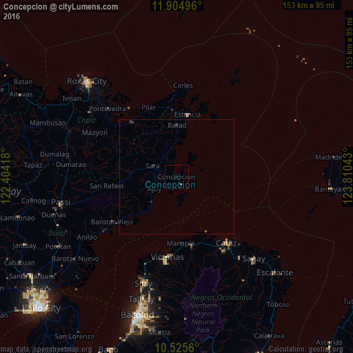
Analysis of Concepcion night lights 2016
Square area 10x10 km:
 0%
0%90-99
0%80-89
0%70-79
0%60-69
0.87%50-59
0%40-49
0%30-39
0%20-29
0.22%10-19
0.65%0-9
98.27%Square area 50x50 km:
0%90-99
0%80-89
0%70-79
0%60-69
0.03%50-59
0.03%40-49
0.06%30-39
0.08%20-29
0.08%10-19
0.03%0-9
99.69%Clear (daylight) street map image can be seen on geolist.org.
Map coordinates:
11° 54' 17.9" North, 122° 24' 15" East
11° 12' 58" North, 123° 6' 26.3" East
10° 31' 32.2" North, 123° 48' 37.5" East
Some cities around Concepcion sort by population:
• Manapla
28.7 km =17.8 mi,  176°
176°
• Luna
31.2 km =19.4 mi,  151°
151°
• Estancia
27 km =16.8 mi,  10°
10°
• Pilar
32.5 km =20.2 mi,  338°
338°
• Ajuy
10.7 km =6.6 mi,  243°
243°
• President Roxas
30.9 km =19.2 mi,  320°
320°
• Tortosa
31.5 km =19.6 mi, 183°
• Dulangan
31.4 km =19.5 mi,  328°
328°
1717022 (p: 6,769)
Sources (retrieved 2019-11-25):
» Earth at Night: Flat Maps 2012, 2016