President Roxas night lights from space
Night Light of President Roxas (Western Visayas) from space (Philippines) Src. Average luminocity for 10x10km area is 1.1688% and for 50x50km: 0.9701%.
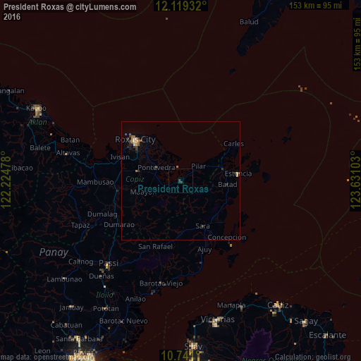
Analysis of President Roxas night lights 2016
Square area 10x10 km:
 0%
0%90-99
0%80-89
0%70-79
0%60-69
0%50-59
0%40-49
1.52%30-39
1.08%20-29
0%10-19
0%0-9
97.4%Square area 50x50 km:
0.05%90-99
0.02%80-89
0.08%70-79
0.15%60-69
0.25%50-59
0.2%40-49
0.17%30-39
0.42%20-29
0.11%10-19
0.18%0-9
98.37%Clear (daylight) street map image can be seen on geolist.org.
Map coordinates:
12° 7' 9.6" North, 122° 13' 29.2" East
11° 25' 51.6" North, 122° 55' 40.4" East
10° 44' 27.6" North, 123° 37' 51.7" East
Some cities around President Roxas sort by population:
• Roxas City
25.8 km =16 mi,  311°
311°
• Estancia
24.6 km =15.3 mi,  83°
83°
• Pilar
9.7 km =6 mi,  50°
50°
• Guinticgan
26 km =16.2 mi,  55°
55°
• Lanot
21 km =13 mi,  297°
297°
• Dulangan
4.1 km =2.5 mi, 47°
• Tabuc Pontevedra
13.4 km =8.3 mi, 295°
• Panitan
17.4 km =10.8 mi,  282°
282°
1692780 (p: 7,240)
Sources (retrieved 2019-11-25):
» Earth at Night: Flat Maps 2012, 2016