Cambanugoy night lights from space
Night Light of Cambanugoy (Davao) from space (Philippines) Src. Average luminocity for 10x10km area is 0.1429% and for 50x50km: 2.2241%.
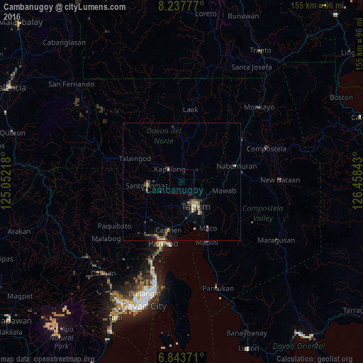
Analysis of Cambanugoy night lights 2016
Square area 10x10 km:
 0%
0%90-99
0%80-89
0%70-79
0%60-69
0%50-59
0%40-49
0%30-39
0%20-29
0%10-19
0%0-9
100%Square area 50x50 km:
0.05%90-99
0.22%80-89
0.34%70-79
0.26%60-69
0.21%50-59
0.4%40-49
0.52%30-39
0.64%20-29
0.52%10-19
1.03%0-9
95.82%Clear (daylight) street map image can be seen on geolist.org.
Map coordinates:
8° 14' 16" North, 125° 3' 7.8" East
7° 32' 28.7" North, 125° 45' 19.1" East
6° 50' 37.4" North, 126° 27' 30.3" East
Some cities around Cambanugoy sort by population:
• Magugpo Poblacion
11.8 km =7.3 mi,  152°
152°
• New Corella
9.1 km =5.7 mi,  56°
56°
• Cabayangan
15.1 km =9.4 mi,  189°
189°
• New Visayas
14.7 km =9.1 mi,  262°
262°
• Corocotan
15.8 km =9.8 mi,  173°
173°
• Sampao
11.9 km =7.4 mi,  299°
299°
• Magatos
3.5 km =2.2 mi, 296°
• La Libertad
13.7 km =8.5 mi,  240°
240°
1730025 (p: 11,693)
Sources (retrieved 2019-11-25):
» Earth at Night: Flat Maps 2012, 2016